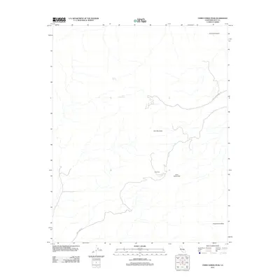
2012 Map of Cerro Gordo Peak
USGS Topo · Published 2012About this map
Cerro Gordo Peak rises as a prominent landmark within the Inyo Mountains, anchoring a landscape defined by steep relief and sparse water sources. This 2012 survey highlights the isolated nature of the high desert terrain, where life and activity cluster around rare features like Mexican Spring and Cerro Gordo Spring. The presence of Harts Camp and the industrial naming of White Mountain Talc Rd point to the region's long history of mining and seasonal habitation. Towards the southeast, Conglomerate Mesa provides a distinct geological plateau, while the winding Cerro Gordo Rd serves as the primary artery through the canyons and towards the peaks. The map effectively documents the intersection of extreme topography, such as San Lucas Canyon, with the infrastructure required for resource extraction and remote access.
Find a feature on this map
9 named features on this map. Tap any name to fly to it.
Don’t see what you’re looking for? This feature index may not catch every label — zoom into the map to look around manually.
Map Details
Editions of this 2012 Cerro Gordo Peak Map
This is the sole edition of this map. No revisions or reprints were ever made.
Other maps of this area

1908 · Ballarat
USGS Topo · 1:250,000

1913 · Ballarat
USGS Topo · 1:250,000

1948 · Death Valley
USGS Topo · 1:250,000

1950 · Darwin
USGS Topo · 1:62,500

1950 · New York Butte
USGS Topo · 1:62,500

1950 · Ubehebe Peak
USGS Topo · 1:62,500

1951 · New York Butte
USGS Topo · 1:62,500

1951 · Darwin
USGS Topo · 1:62,500

1951 · Ubehebe Peak
USGS Topo · 1:62,500

1951 · Keeler
USGS Topo · 1:62,500