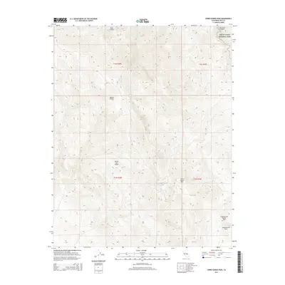
2015 Map of Cerro Gordo Peak
USGS Topo · Published 2015About this map
Cerro Gordo Peak towers over a landscape defined by extreme elevation changes and sparse water sources in the southern White Inyo Range. This 2015 U.S. Geological Survey representation captures the transition from the high ridges of the Inyo Mountains down toward the Mojave Desert floor. The presence of Mexican Spring and Cerro Gordo Spring suggests the vital points of relief in an otherwise arid environment, while the northeastern corner of the map reaches into the protected wilderness of Death Valley National Park. To the southeast, the distinct geomorphology of Conglomerate Mesa and the Conglomerate Double Arch provides specific landmarks for those navigating the high-altitude terrain. The map is a valuable resource for understanding the complex topography of this remote section of Inyo County, from the depths of Daisy Canyon to the summits along the park boundary.
Find a feature on this map
14 named features on this map. Tap any name to fly to it.
Don’t see what you’re looking for? This feature index may not catch every label — zoom into the map to look around manually.
Map Details
Editions of this 2015 Cerro Gordo Peak Map
This is the sole edition of this map. No revisions or reprints were ever made.
Other maps of this area

1908 · Ballarat
USGS Topo · 1:250,000

1913 · Ballarat
USGS Topo · 1:250,000

1948 · Death Valley
USGS Topo · 1:250,000

1950 · Darwin
USGS Topo · 1:62,500

1950 · New York Butte
USGS Topo · 1:62,500

1950 · Ubehebe Peak
USGS Topo · 1:62,500

1951 · New York Butte
USGS Topo · 1:62,500

1951 · Darwin
USGS Topo · 1:62,500

1951 · Ubehebe Peak
USGS Topo · 1:62,500

1951 · Keeler
USGS Topo · 1:62,500