2024 Map of Cerro Gordo
USGS Topo · Published 2024About this map
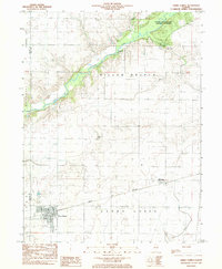
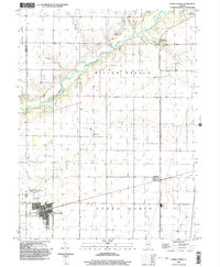
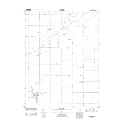
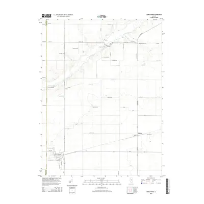
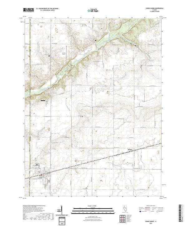
The Sangamon River meanders through the heart of this central Illinois landscape, defining the topography between the settlements of Cerro Gordo and Milmine. This modern topographic study reveals a well-ordered agricultural grid interspersed with several small aviation facilities, including Norfleet Airport and the Gaitros STOL Airport. Family history and local heritage are deeply embedded in the rural acreage, evidenced by numerous burial grounds such as Ater Cem, Croninger Cem, and the Pioneer Cem. The drainage patterns of Willow Branch and its tributaries carve subtle relief into the prairie, while the Macon Co Piatt Co line bisects the western edge. These features together show a contemporary portrait of a region where tradition and modern utility coexist along the river's path.
Find a feature on this map
56 named features on this map. Tap any name to fly to it.
Don’t see what you’re looking for? This feature index may not catch every label — zoom into the map to look around manually.
Map Details
Editions of this 2024 Cerro Gordo Map
This is the sole edition of this map. No revisions or reprints were ever made.
Historical Maps of Cerro Gordo Through Time
7 maps found