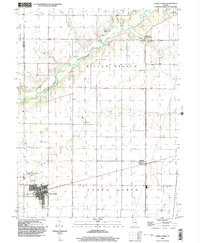
1999 Map of Cerro Gordo
USGS Topo · Published 2003About this map
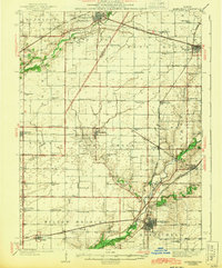
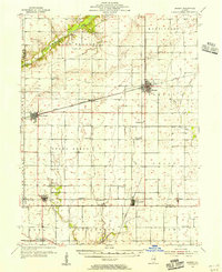
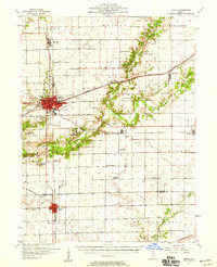
Cerro Gordo sits at the southwestern edge of this survey, defining a landscape where the grid-work of Illinois agriculture meets the winding course of the Sangamon River. The river, joined here by Friends Creek, carves a wooded corridor across the northern sections, providing a sharp contrast to the surrounding prairie township lines of Oakley Willow Branch and Whitmore Willow Branch. This late-century documentation records the intersection of longstanding rural foundations and modern infrastructure, from the developed corner of Allerton State Park in the northeast to the Sew Disp Ponds near the Macon and Piatt county line.
Find a feature on this map
18 named features on this map. Tap any name to fly to it.
Don’t see what you’re looking for? This feature index may not catch every label — zoom into the map to look around manually.
Map Details
Editions of this 1999 Cerro Gordo Map
This is the sole edition of this map. No revisions or reprints were ever made.
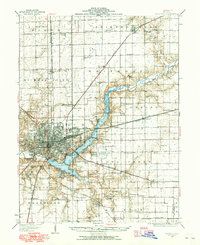
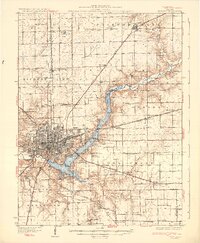
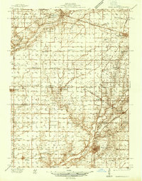
Other maps of this area
1929 · Decatur
USGS Topo · 1:62,500
1933 · Decatur
USGS Topo · 1:62,500
1937 · Monticello
USGS Topo · 1:48,000
1943 · Monticello
USGS Topo · 1:62,500
1955 · Bement
USGS Topo · 1:62,500
1957 · Maroa
USGS Topo · 1:62,500

1958 · Peoria
USGS Topo · 1:250,000

1958 · Decatur
USGS Topo · 1:250,000

1961 · Peoria
USGS Topo · 1:250,000

1961 · Decatur
USGS Topo · 1:250,000