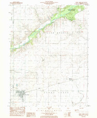
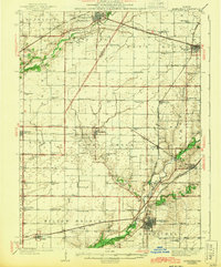
1983 Map of Cerro Gordo
USGS Topo · Published 1983About this map
Cerro Gordo and Milmine anchor this 1980s landscape at the border of Macon and Piatt Counties, where the Norfolk and Western railway cuts a straight path across the central Illinois prairie. To the north, the Sangamon River meanders through a wooded corridor, creating a distinct natural break in the otherwise systematic grid of the Willow Branch and Cerro Gordo townships. This riverine landscape is home to Robert Allerton Park, a significant cultural and natural landmark for the University of Illinois.
Find a feature on this map
17 named features on this map. Tap any name to fly to it.
Don’t see what you’re looking for? This feature index may not catch every label — zoom into the map to look around manually.
Map Details
Editions of this 1983 Cerro Gordo Map
This is the sole edition of this map. No revisions or reprints were ever made.
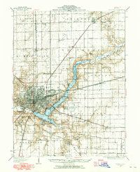
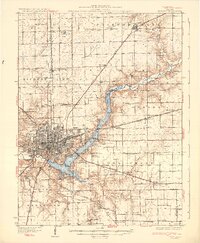
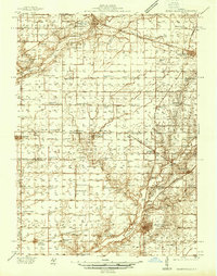
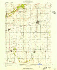
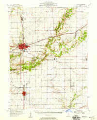
Other maps of this area
1929 · Decatur
USGS Topo · 1:62,500
1933 · Decatur
USGS Topo · 1:62,500
1937 · Monticello
USGS Topo · 1:48,000
1943 · Monticello
USGS Topo · 1:62,500
1955 · Bement
USGS Topo · 1:62,500
1957 · Maroa
USGS Topo · 1:62,500

1958 · Peoria
USGS Topo · 1:250,000

1958 · Decatur
USGS Topo · 1:250,000

1961 · Peoria
USGS Topo · 1:250,000

1961 · Decatur
USGS Topo · 1:250,000