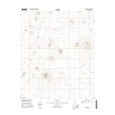
2017 Map of Cerro Pomo
USGS Topo · Published 2017About this map
Cerro Pomo and the surrounding volcanic field dominate this portion of the Eastern Navajo Agency landscape, where ancient geological formations meet modern ranching and resource management. The terrain is characterized by a series of distinct peaks, including Cerro Cantina, Cerro Montoso, and the prominent Cerros de Las Mujeres. These heights rise above expansive flats like Penasco Flat and are cut by drainage features such as Deep Water Draw. Human presence is traced through a network of local roads such as Cinder Cone Rd and Mujeres View Rd, which facilitate movement between scattered water sources like Sakno Lake and Montoso Tank. The map illustrates the careful division of this high-altitude country into townships, including t6n r14w and t5n r14w, showing how public land surveys have partitioned the Cibola County wilderness.
Find a feature on this map
19 named features on this map. Tap any name to fly to it.
Don’t see what you’re looking for? This feature index may not catch every label — zoom into the map to look around manually.
Map Details
Editions of this 2017 Cerro Pomo Map
This is the sole edition of this map. No revisions or reprints were ever made.
Other maps of this area

1954 · Saint Johns
USGS Topo · 1:250,000

1957 · Saint Johns
USGS Topo · 1:250,000

1958 · Saint Johns
USGS Topo · 1:250,000

1962 · Saint Johns
USGS Topo · 1:250,000

1967 · Red Lake Mission
USGS Topo · 1:24,000
1967 · Cerro Brillante
USGS Topo · 1:24,000

1967 · Chimney Hill
USGS Topo · 1:24,000

1967 · Cerro Alto
USGS Topo · 1:24,000

1967 · Veteado Mountain
USGS Topo · 1:24,000
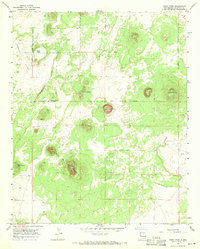
1967 · Cerro Pomo
USGS Topo · 1:24,000