
1967 Map of Cerro Alto
USGS Topo · Published 1971About this map
The Ramah Indian Reservation Boundary defines the structural layout of this high-desert landscape, where land use and topography are closely linked. Crossing the center of the sheet, the Continental Divide separates the drainage basins of the American West, winding past volcanic landmarks like Cerro Alto and Cerro Flora. The presence of ephemeral water sources such as Laguna Flora and Laguna Colorada indicates the critical importance of seasonal moisture in this arid environment. Further topographic variation is found in the expansive Flat Peñasco and the distinct lowlands of The Vega. The map's detailed fencing lines and section markers suggest a terrain utilized for grazing and traditional land management within and adjacent to the reservation during the late 1960s.
Find a feature on this map
11 named features on this map. Tap any name to fly to it.
Don’t see what you’re looking for? This feature index may not catch every label — zoom into the map to look around manually.
Map Details
Editions of this 1967 Cerro Alto Map
This is the sole edition of this map. No revisions or reprints were ever made.
Other maps of this area

1954 · Saint Johns
USGS Topo · 1:250,000

1957 · Saint Johns
USGS Topo · 1:250,000

1958 · Saint Johns
USGS Topo · 1:250,000

1962 · Saint Johns
USGS Topo · 1:250,000
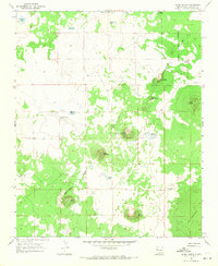
1967 · Cerro Hueco
USGS Topo · 1:24,000

1967 · Red Lake Mission
USGS Topo · 1:24,000
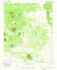
1967 · Cerro Brillante
USGS Topo · 1:24,000

1967 · Chimney Hill
USGS Topo · 1:24,000
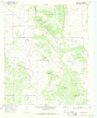
1967 · Goat Hill
USGS Topo · 1:24,000
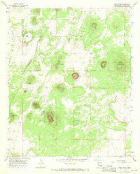
1967 · Cerro Pomo
USGS Topo · 1:24,000