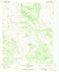
1967 Map of Goat Hill
USGS Topo · Published 1971About this map
The Ramah Indian Reservation Boundary bisects this New Mexico landscape, marking a territory defined by high desert terrain and vital water sources in the late 1960s. The map reveals a land managed for ranching and spiritual life, centered on the Nazarene Ch and the James Ranch. A network of deep-cut drainage patterns, including Carrizozo Draw and White Horse Draw, crisscrosses the plateau toward natural and man-made catchments like Laguna Concho. The reliance on groundwater is evident through the placement of named wells such as Bonds Well and Little Oak Well, which served as critical landmarks for local inhabitants. Prominent volcanic or erosional features like Goat Hill, Black Mtn, and Pig-a-te-be-ikiti provide topographical relief, anchoring the survey with distinct southwestern summits.
Find a feature on this map
22 named features on this map. Tap any name to fly to it.
Don’t see what you’re looking for? This feature index may not catch every label — zoom into the map to look around manually.
Map Details
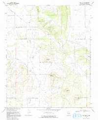
Editions of this 1967 Goat Hill Map
2 editions found
Other maps of this area

1886 · Wingate
USGS Topo · 1:250,000

1892 · Wingate
USGS Topo · 1:250,000

1952 · Valle Largo
USGS Topo · 1:24,000

1954 · Saint Johns
USGS Topo · 1:250,000

1954 · Gallup
USGS Topo · 1:250,000

1957 · Saint Johns
USGS Topo · 1:250,000

1958 · Gallup
USGS Topo · 1:250,000

1958 · Saint Johns
USGS Topo · 1:250,000

1959 · Gallup
USGS Topo · 1:250,000

1962 · Gallup
USGS Topo · 1:250,000