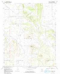
1967 Map of Goat Hill
USGS Topo · Published 1992About this map
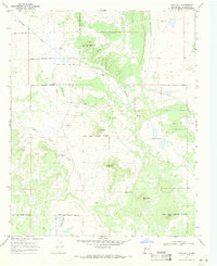
The Ramah Indian Reservation Boundary defines much of this high-altitude landscape, where the survival of early settlements depended heavily on isolated water sources. Ranching life in the late 1960s is evidenced by several scattered improvements, such as the James Ranch and a series of named water points including Bonds Well, Carrizozo Well, and Little Oak Wells. The area is characterized by high points like Goat Hill, White Hill, and Black Mtn, with drainage systems like Carrizozo Draw and White Horse Draw cutting through the terrain. A modest institutional presence is found at the Nazarene Ch, serving the dispersed population. This 1967 survey provides an essential look at the land use and reservation borders during a period of remote ranching and seasonal grazing, before modern developments altered these traditional boundaries.
Find a feature on this map
21 named features on this map. Tap any name to fly to it.
Don’t see what you’re looking for? This feature index may not catch every label — zoom into the map to look around manually.
Map Details
Editions of this 1967 Goat Hill Map
2 editions found
Other maps of this area

1886 · Wingate
USGS Topo · 1:250,000

1892 · Wingate
USGS Topo · 1:250,000

1952 · Valle Largo
USGS Topo · 1:24,000

1954 · Saint Johns
USGS Topo · 1:250,000

1954 · Gallup
USGS Topo · 1:250,000

1957 · Saint Johns
USGS Topo · 1:250,000

1958 · Gallup
USGS Topo · 1:250,000

1958 · Saint Johns
USGS Topo · 1:250,000

1959 · Gallup
USGS Topo · 1:250,000

1962 · Gallup
USGS Topo · 1:250,000