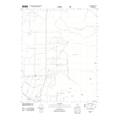
2011 Map of Cerro
USGS Topo · Published 2011About this map
Sunshine Valley serves as a stark topographical divide on this Taos County map, where the flat irrigated plains of the west meet the rising peaks of the Sangre de Cristo foothills. The settlement pattern reflects a deeply rooted agricultural history, evidenced by a complex network of irrigation features including the Cerro Community Ditch, Sunshine Canal, and numbered ditches such as Number One Ditch. These waterworks sustain the small communities of Cerro, Buena Vista, and El Rito.
Find a feature on this map
47 named features on this map. Tap any name to fly to it.
Don’t see what you’re looking for? This feature index may not catch every label — zoom into the map to look around manually.
Map Details
Editions of this 2011 Cerro Map
This is the sole edition of this map. No revisions or reprints were ever made.
Other maps of this area

1954 · Raton
USGS Topo · 1:250,000

1958 · Raton
USGS Topo · 1:250,000

1963 · Costilla
USGS Topo · 1:24,000

1963 · Amalia
USGS Topo · 1:24,000

1963 · Cerro
USGS Topo · 1:24,000

1963 · Ute Mountain
USGS Topo · 1:24,000

1963 · Sunshine
USGS Topo · 1:24,000

1963 · Questa
USGS Topo · 1:24,000

1963 · Guadalupe Mountain
USGS Topo · 1:24,000

1963 · Latir Peak
USGS Topo · 1:24,000