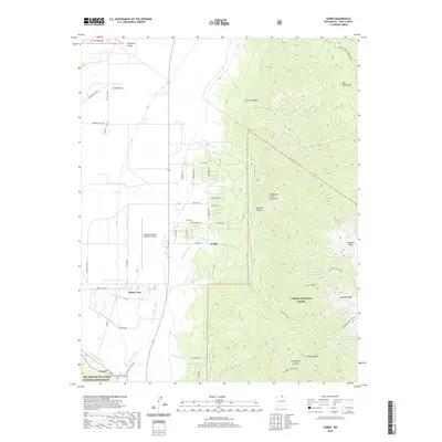
2020 Map of Cerro
USGS Topo · Published 2020About this map
Sunshine Valley and the western slopes of the Taos Mountains define this high-altitude landscape in Taos County. The settlement pattern is anchored by small communities like Cerro and El Rito, which are sustained by an intricate network of irrigation features including the Sunshine Canal, Cerro Community Ditch, and Main Lateral. This irrigation system reveals the agricultural foundations of the region, where water is diverted from mountain sources to the valley floor. To the east, the terrain rises sharply into the Sangre de Cristo Mountains, home to prominent summits such as Virsylvia Peak and Cabresto Peak within the Carson National Forest. For genealogists and local historians, the presence of Latir Cem and El Cerro Cem provides important points for tracing family lineages in these enduring rural settlements.
Find a feature on this map
56 named features on this map. Tap any name to fly to it.
Don’t see what you’re looking for? This feature index may not catch every label — zoom into the map to look around manually.
Map Details
Editions of this 2020 Cerro Map
This is the sole edition of this map. No revisions or reprints were ever made.
Other maps of this area

1954 · Raton
USGS Topo · 1:250,000

1958 · Raton
USGS Topo · 1:250,000

1963 · Costilla
USGS Topo · 1:24,000

1963 · Amalia
USGS Topo · 1:24,000

1963 · Cerro
USGS Topo · 1:24,000

1963 · Ute Mountain
USGS Topo · 1:24,000

1963 · Sunshine
USGS Topo · 1:24,000

1963 · Questa
USGS Topo · 1:24,000

1963 · Guadalupe Mountain
USGS Topo · 1:24,000

1963 · Latir Peak
USGS Topo · 1:24,000