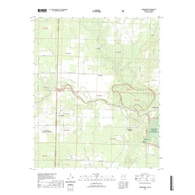
2020 Map of Cerrogordo
USGS Topo · Published 2020About this map
The Little River and Rolling Fork wind through this borderland region where Arkansas meets Oklahoma, defining a landscape shaped by river bends and bottomlands. Several small communities and named crossroads anchor the rural landscape, including the settlement of Cerrogordo and nearby Neal Springs. For family historians, the map identifies specific burial sites such as Cerrogordo Cem, West Otis Cem, and Pauley Cem, which serve as vital landmarks for tracing local lineages. The northern portion of the quadrangle shows the confluence of smaller tributaries like Buck Cr and Bear Cr as they feed into the larger river systems. Significant public lands are also noted, with portions of the Ouachita National Forest and the Pond Creek National Wildlife Refuge (PCNWR) protecting the riverine environment. Unique terrain features, such as the Green Wood Shoals and the Dog Town Bridge, provide specific points of interest for those studying the historical crossings and navigation of these waterways.
Find a feature on this map
75 named features on this map. Tap any name to fly to it.
Don’t see what you’re looking for? This feature index may not catch every label — zoom into the map to look around manually.
Map Details
Editions of this 2020 Cerrogordo Map
This is the sole edition of this map. No revisions or reprints were ever made.
Other maps of this area

1902 · Lukfata
USGS Topo · 1:125,000

1913 · De Queen
USGS Topo · 1:125,000

1950 · Mcalester
USGS Topo · 1:250,000

1950 · Winthrop
USGS Topo · 1:24,000

1950 · Goodwater
USGS Topo · 1:24,000

1950 · Bokhoma
USGS Topo · 1:24,000

1951 · Winthrop
USGS Topo · 1:24,000

1951 · Bokhoma
USGS Topo · 1:24,000

1951 · Goodwater
USGS Topo · 1:24,000

1951 · Arkinda
USGS Topo · 1:24,000