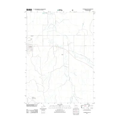
2011 Map of Chadron East
USGS Topo · Published 2011About this map
Chadron anchors the western edge of this 2011 survey, where the urban grid meets the agricultural landscape of Dawes County. The area is defined by the branching paths of Bordeaux Creek, which splits into Big Bordeaux Creek and Little Bordeaux Creek as it winds northward toward the Marshall Reservoir. This man-made water body, held by Marshall Dam, serves as a primary landmark in the northern reaches of the quadrangle.
Find a feature on this map
26 named features on this map. Tap any name to fly to it.
Don’t see what you’re looking for? This feature index may not catch every label — zoom into the map to look around manually.
Map Details
Editions of this 2011 Chadron East Map
This is the sole edition of this map. No revisions or reprints were ever made.
Other maps of this area

1955 · Alliance
USGS Topo · 1:250,000

1957 · Alliance
USGS Topo · 1:250,000

1958 · Alliance
USGS Topo · 1:250,000

1966 · Chadron 3 NE
USGS Topo · 1:24,000

1969 · Chadron NE
USGS Topo · 1:24,000

1969 · Bordeaux
USGS Topo · 1:24,000
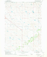
1970 · Bohemian Creek
USGS Topo · 1:24,000

1970 · Chadron 3 NW
USGS Topo · 1:24,000
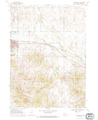
1970 · Chadron East
USGS Topo · 1:24,000
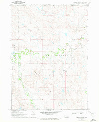
1970 · Isinglass Buttes
USGS Topo · 1:24,000