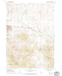
1970 Map of Chadron East
USGS Topo · Published 1972About this map
The city of Chadron serves as the focal point for this 1970s survey, illustrating the community's layout and its educational infrastructure centered around Chadron State College. The townscape is densely detailed, featuring Assumption Academy, local schools like High Sch and Middle Sch, and social hubs such as the County Fairground and Finnegan Park. The Chicago and North Western railroad cuts across the landscape, following the general path of Bordeaux Creek and its tributaries, reflecting the historic transportation corridor of the Nebraska Panhandle.
Find a feature on this map
25 named features on this map. Tap any name to fly to it.
Don’t see what you’re looking for? This feature index may not catch every label — zoom into the map to look around manually.
Map Details
Editions of this 1970 Chadron East Map
This is the sole edition of this map. No revisions or reprints were ever made.
Other maps of this area

1955 · Alliance
USGS Topo · 1:250,000

1957 · Alliance
USGS Topo · 1:250,000

1958 · Alliance
USGS Topo · 1:250,000

1966 · Chadron 3 NE
USGS Topo · 1:24,000

1969 · Chadron NE
USGS Topo · 1:24,000

1969 · Bordeaux
USGS Topo · 1:24,000
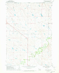
1970 · Bohemian Creek
USGS Topo · 1:24,000

1970 · Chadron 3 NW
USGS Topo · 1:24,000
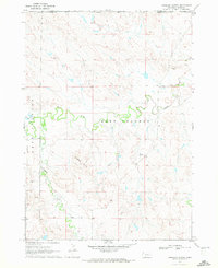
1970 · Isinglass Buttes
USGS Topo · 1:24,000
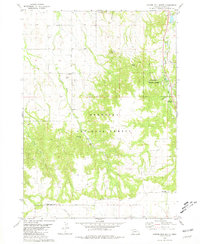
1980 · Coffee Mill Butte
USGS Topo · 1:24,000