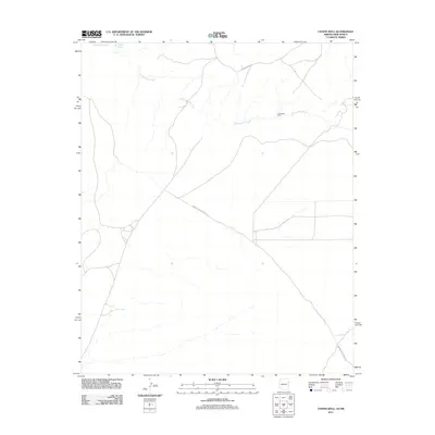
2011 Map of Chafin Well
USGS Topo · Published 2011About this map
Whitewater Arroyo meanders through this arid borderland between Arizona and New Mexico, serving as the primary drainage feature for the high desert landscape. The presence of developed water sources like CH Begaye Well, Good Luck Spring, and the namesake Chafin Well underscores the importance of water management in this sparsely populated region. This 2011 survey illustrates a territory primarily structured by historical infrastructure, where Indian Service Route 3 and Jones Ranch Rd provide the essential corridors for movement across the Navajo Nation lands. The map details a transition between states, capturing the intersection of local ranching routes and tribal service roads in an area defined more by its natural topography and critical wells than by dense urban development.
Find a feature on this map
6 named features on this map. Tap any name to fly to it.
Don’t see what you’re looking for? This feature index may not catch every label — zoom into the map to look around manually.
Map Details
Editions of this 2011 Chafin Well Map
This is the sole edition of this map. No revisions or reprints were ever made.
Other maps of this area

1886 · Wingate
USGS Topo · 1:250,000

1886 · Fort Defiance
USGS Topo · 1:250,000

1892 · Fort Defiance
USGS Topo · 1:250,000

1892 · Wingate
USGS Topo · 1:250,000

1954 · Gallup
USGS Topo · 1:250,000

1958 · Gallup
USGS Topo · 1:250,000

1959 · Gallup
USGS Topo · 1:250,000

1962 · Gallup
USGS Topo · 1:250,000

1963 · Jones Ranch School
USGS Topo · 1:24,000

1967 · Gallup
USGS Topo · 1:250,000