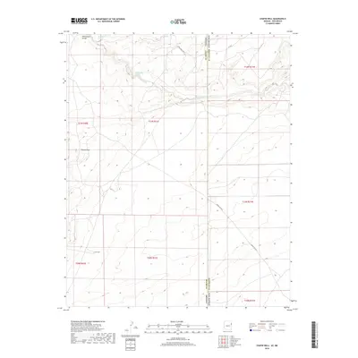
2018 Map of Chafin Well
USGS Topo · Published 2018About this map
Whitewater Arroyo winds across this high-desert landscape on the border of Arizona and New Mexico, serving as a primary hydrologic feature in a region defined by its sparse water sources. The map highlights the intersection of Apache County and McKinley County, where the terrain is marked by significant drainages like Tolapai Draw. Human presence in this arid environment is anchored by isolated water points such as Chafin Well and the aptly named Good-Luck Spring. These features reflect the historic reliance on reliable springs and wells for ranching and transit across the plateau. The transportation network is composed of rural and administrative routes, including Jones Ranch Rd and Indian Svc Rte 3, which trace the paths between grazing lands and remote homesteads.
Find a feature on this map
16 named features on this map. Tap any name to fly to it.
Don’t see what you’re looking for? This feature index may not catch every label — zoom into the map to look around manually.
Map Details
Editions of this 2018 Chafin Well Map
This is the sole edition of this map. No revisions or reprints were ever made.
Other maps of this area

1886 · Wingate
USGS Topo · 1:250,000

1886 · Fort Defiance
USGS Topo · 1:250,000

1892 · Fort Defiance
USGS Topo · 1:250,000

1892 · Wingate
USGS Topo · 1:250,000

1954 · Gallup
USGS Topo · 1:250,000

1958 · Gallup
USGS Topo · 1:250,000

1959 · Gallup
USGS Topo · 1:250,000

1962 · Gallup
USGS Topo · 1:250,000

1963 · Jones Ranch School
USGS Topo · 1:24,000

1967 · Gallup
USGS Topo · 1:250,000