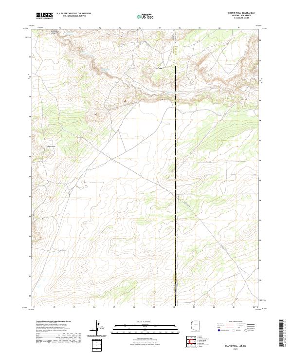
2021 Map of Chafin Well
USGS Topo · Published 2021About this map
The high desert borderlands between Arizona and New Mexico define this landscape, where the state line bisects the arid terrain of Apache County and McKinley County. At the heart of this sparsely populated region lies Chafin Well, a vital water point in an area dominated by seasonal drainage systems like Whitewater Arroyo and the winding Tolapai Draw. The presence of Good Luck Spring in the northern reaches further illustrates the critical importance of reliable water sources for ranching and survival in this environment.
Find a feature on this map
16 named features on this map. Tap any name to fly to it.
Don’t see what you’re looking for? This feature index may not catch every label — zoom into the map to look around manually.
Map Details
Editions of this 2021 Chafin Well Map
This is the sole edition of this map. No revisions or reprints were ever made.
Other maps of this area

1886 · Wingate
USGS Topo · 1:250,000

1886 · Fort Defiance
USGS Topo · 1:250,000

1892 · Fort Defiance
USGS Topo · 1:250,000

1892 · Wingate
USGS Topo · 1:250,000

1954 · Gallup
USGS Topo · 1:250,000

1958 · Gallup
USGS Topo · 1:250,000

1959 · Gallup
USGS Topo · 1:250,000

1962 · Gallup
USGS Topo · 1:250,000

1963 · Jones Ranch School
USGS Topo · 1:24,000

1967 · Gallup
USGS Topo · 1:250,000