Loading...
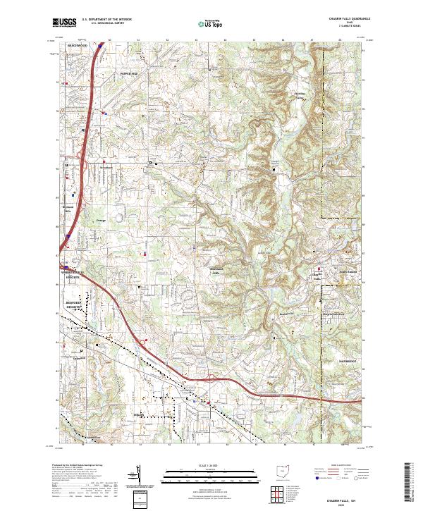
Loading map...2023 Map of Chagrin Falls
USGS Topo · Published 2023About this map
Chagrin Falls serves as a focal point in this eastern Cuyahoga County landscape, where the Chagrin River carves through the terrain near the Geauga County line. The area exhibits a dense network of suburban development and preserved green spaces, including Chagrin Falls Park and the specialized Jackson Field. Educational institutions such as Ursuline College near Lake Elissa and the Bryant and Stratton College Solon anchor the northern and southern sectors respectively.
Find a feature on this map
58 named features on this map. Tap any name to fly to it.
Don’t see what you’re looking for? This feature index may not catch every label — zoom into the map to look around manually.
Map Details
Date Portrayed2023
Date Published2023
PublisherU.S. Geological Survey
Map TypeTopographic
Scale1:24000
Physical Dimensions24 x 29 inches
Editions of this 2023 Chagrin Falls Map
This is the sole edition of this map. No revisions or reprints were ever made.
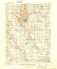
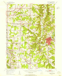
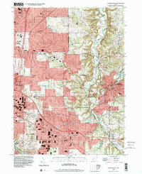
Historical Maps of Orange Through Time
6 maps found


Featured Locations
Source Details
SourceU.S. Geological Survey
CopyrightPublic Domain