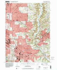
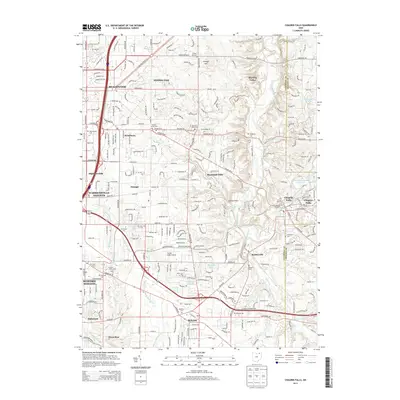
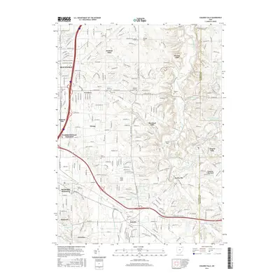
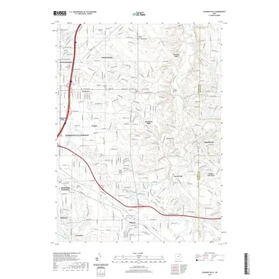
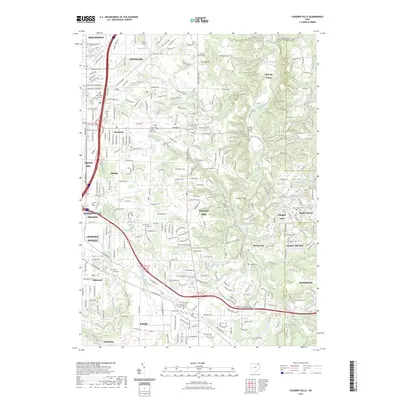
1994 Map of Chagrin Falls
USGS Topo · Published 2000About this map
The Chagrin River carves a deep valley through this landscape, defining the character of the eastern Cuyahoga County suburbs. In the village of Chagrin Falls, the industrial heritage of the Millpond remains visible, even as the surrounding area transitioned into a residential enclave of estates and country clubs. Subdivisions in Pepper Pike and Moreland Hills are juxtaposed against the expansive South Chagrin Metropolitan Reservation, illustrating a mid-century planning focus on preserving green space amidst suburban sprawl.
Find a feature on this map
59 named features on this map. Tap any name to fly to it.
Don’t see what you’re looking for? This feature index may not catch every label — zoom into the map to look around manually.
Map Details
Editions of this 1994 Chagrin Falls Map
This is the sole edition of this map. No revisions or reprints were ever made.
Historical Maps of Solon Through Time
10 maps found

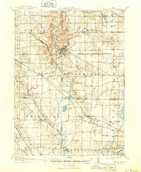
1906 Chagrin Falls
Cuyahoga County, OH
1908 Chagrin Falls
Cuyahoga County, OH
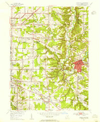
1953 Chagrin Falls
Cuyahoga County, OH

1963 Chagrin Falls
Cuyahoga County, OH
1994 Chagrin Falls
Cuyahoga County, OH
2010 Chagrin Falls
Cuyahoga County, OH
2013 Chagrin Falls
Cuyahoga County, OH
2016 Chagrin Falls
Cuyahoga County, OH
2019 Chagrin Falls
Cuyahoga County, OH
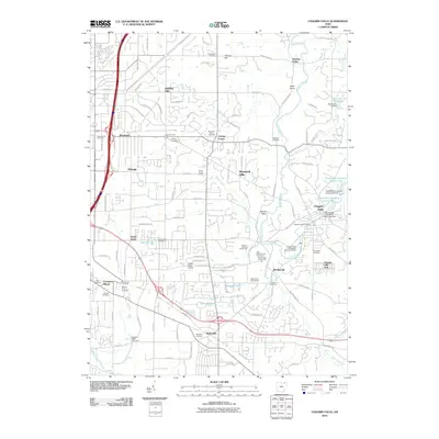
2023 Chagrin Falls
Cuyahoga County, OH