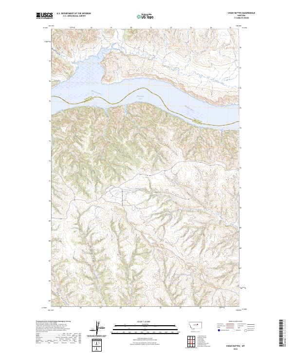
2024 Map of Chain Buttes
USGS Topo · Published 2024About this map
The Missouri River cuts a wide path through this northern Missouri landscape, marking the boundary between Phillips and Petroleum counties. The northern portion of the map is dominated by the UL Bend National Wildlife Refuge and the UL Bend Wilderness, where the river expands into the upper reaches of Fort Peck Lake. This terrain is defined by its dramatic drainage patterns, with numerous coulees such as Garden Coulee and Hawley Creek feeding into the main channel from the north.
Find a feature on this map
19 named features on this map. Tap any name to fly to it.
Don’t see what you’re looking for? This feature index may not catch every label — zoom into the map to look around manually.
Map Details
Editions of this 2024 Chain Buttes Map
This is the sole edition of this map. No revisions or reprints were ever made.
Other maps of this area

1954 · Jordan
USGS Topo · 1:250,000

1954 · Lewistown
USGS Topo · 1:250,000

1956 · Jordan
USGS Topo · 1:250,000

1958 · Jordan
USGS Topo · 1:250,000

1959 · Lewistown
USGS Topo · 1:250,000

1964 · Jordan
USGS Topo · 1:250,000

1965 · Karsten Coulee
USGS Topo · 1:24,000

1965 · Dry Coulee
USGS Topo · 1:24,000

1965 · Germaine Coulee West
USGS Topo · 1:24,000

1965 · Chain Buttes
USGS Topo · 1:24,000