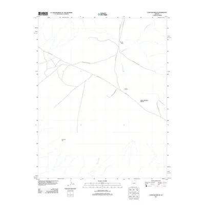
2011 Map of Chaiyahi Rim NE
USGS Topo · Published 2011About this map
The Navajo Mountain Mission stands as a notable cultural landmark within this high-desert landscape of northern Arizona, situated near the intersection of several remote transportation corridors. The region is defined by the prominent Chaiyahi Rim and a network of ephemeral drainage systems including Tin Can Wash, Jackrabbit Fork, and Chaiyahi Creek. These waterways and topographic breaks have historically dictated the placement of critical infrastructure in an arid environment, such as The Old Windmill. A series of primary routes, including Indian Rte-16, Indian Rte-161, and Navajo Reservation Rd, converge here, reflecting the importance of this area as a transit hub for the surrounding Reservation. The map documents the sparse but vital human footprint across the Navajo Nation as it appeared in the early 21st century.
Find a feature on this map
10 named features on this map. Tap any name to fly to it.
Don’t see what you’re looking for? This feature index may not catch every label — zoom into the map to look around manually.
Map Details
Editions of this 2011 Chaiyahi Rim NE Map
2 editions found
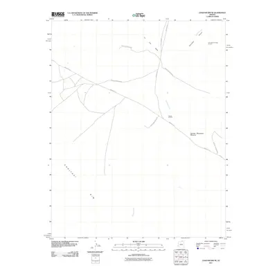
Other maps of this area

1883 · Marsh Pass
USGS Topo · 1:250,000

1886 · Henry Mountains
USGS Topo · 1:250,000

1892 · Marsh Pass
USGS Topo · 1:250,000

1892 · Henry Mountains
USGS Topo · 1:250,000

1953 · Navajo Mountain 4 SW
USGS Topo · 1:24,000

1953 · Navajo Mountain
USGS Topo · 1:62,500

1953 · No Mans Mesa
USGS Topo · 1:62,500

1956 · Escalante
USGS Topo · 1:250,000

1956 · Marble Canyon
USGS Topo · 1:250,000

1959 · Marble Canyon
USGS Topo · 1:250,000