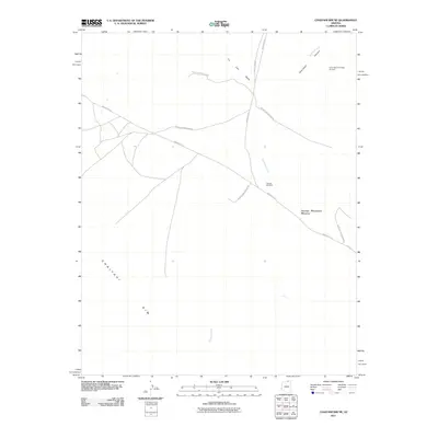
2011 Map of Chaiyahi Rim NE
USGS Topo · Published 2011About this map
The Navajo Mountain Mission anchors this high-desert landscape in northern Coconino County, where the topography is defined by the sharp drop-off of the Chaiyahi Rim. This remote region of the Navajo Reservation is interlaced with seasonal drainages such as Tin Can Wash and Jackrabbit Fork, which carve through the arid plateau toward Jackrabbit Canyon. Transportation in this part of the reservation relies on a network of established routes including Indian Rte-16 and Navajo Reservation Rd, which connect isolated outposts and points of interest. Notable human-made landmarks like the Inscription House Airport and The Old Windmill reflect the essential infrastructure required for survival and travel in this vast, water-dependent environment, while Chaiyahi Creek marks the lower elevations to the south.
Find a feature on this map
13 named features on this map. Tap any name to fly to it.
Don’t see what you’re looking for? This feature index may not catch every label — zoom into the map to look around manually.
Map Details
Editions of this 2011 Chaiyahi Rim NE Map
2 editions found
Other maps of this area

1883 · Marsh Pass
USGS Topo · 1:250,000

1886 · Henry Mountains
USGS Topo · 1:250,000

1892 · Marsh Pass
USGS Topo · 1:250,000

1892 · Henry Mountains
USGS Topo · 1:250,000

1953 · Navajo Mountain 4 SW
USGS Topo · 1:24,000

1953 · Navajo Mountain
USGS Topo · 1:62,500

1953 · No Mans Mesa
USGS Topo · 1:62,500

1956 · Escalante
USGS Topo · 1:250,000

1956 · Marble Canyon
USGS Topo · 1:250,000

1959 · Marble Canyon
USGS Topo · 1:250,000