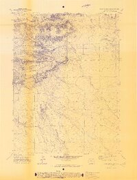
1972 Map of Chalk Bluffs East
USGS Topo · Published 1974About this map
Eagle Rock Ranch anchors the northeastern landscape of this Weld County terrain, situated near the distinctive Eagle Rock Res. The area is defined by a dense network of intermittent drainage channels and rugged topography, where Simpson Creek and its tributary, Little Simpson Creek, carve through the eastern half of the quadrangle. A striking geological feature, Squaw Rock, rises above the central western portion of the map, overlooking the headwaters of Geary Creek.
Find a feature on this map
12 named features on this map. Tap any name to fly to it.
Don’t see what you’re looking for? This feature index may not catch every label — zoom into the map to look around manually.
Map Details
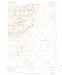
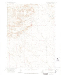
Editions of this 1972 Chalk Bluffs East Map
3 editions found
Other maps of this area

1908 · Eaton
USGS Topo · 1:125,000

1910 · Eaton
USGS Topo · 1:125,000

1911 · Cheyenne
USGS Topo · 1:125,000

1914 · Cheyenne
USGS Topo · 1:125,000

1954 · Cheyenne
USGS Topo · 1:250,000

1954 · Greeley
USGS Topo · 1:250,000

1957 · Greeley
USGS Topo · 1:250,000

1958 · Cheyenne
USGS Topo · 1:250,000

1958 · Greeley
USGS Topo · 1:250,000

1961 · Greeley
USGS Topo · 1:250,000