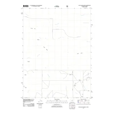
2011 Map of Chalk Bluffs West
USGS Topo · Published 2011About this map
Chalk Bluffs and the flat-topped Simpson Mesa define the high-plains landscape of the Colorado-Wyoming border in this 2011 survey. The terrain is a network of intermittent drainages including Cow Creek, Eastman Creek, and the West Fork Willow Creek, which carve through the arid rangeland. The map reveals an infrastructure tailored to livestock and remote ranching, characterized by a high density of named water-pumping sites. These landmarks, such as North Owl Windmill, McCormick Windmill, and Prange Windmill, serve as the primary navigational anchors for the area. Transport is facilitated by a grid of rural routes including County RD-138 and County RD-128, which provide access to the various forks of Geary Creek and the surrounding grazing lands.
Find a feature on this map
25 named features on this map. Tap any name to fly to it.
Don’t see what you’re looking for? This feature index may not catch every label — zoom into the map to look around manually.
Map Details
Editions of this 2011 Chalk Bluffs West Map
This is the sole edition of this map. No revisions or reprints were ever made.
Other maps of this area

1908 · Eaton
USGS Topo · 1:125,000

1910 · Eaton
USGS Topo · 1:125,000

1911 · Cheyenne
USGS Topo · 1:125,000

1914 · Cheyenne
USGS Topo · 1:125,000

1950 · Cheyenne
USGS Topo · 1:62,500

1954 · Cheyenne
USGS Topo · 1:250,000

1954 · Greeley
USGS Topo · 1:250,000

1957 · Greeley
USGS Topo · 1:250,000

1958 · Cheyenne
USGS Topo · 1:250,000

1958 · Greeley
USGS Topo · 1:250,000