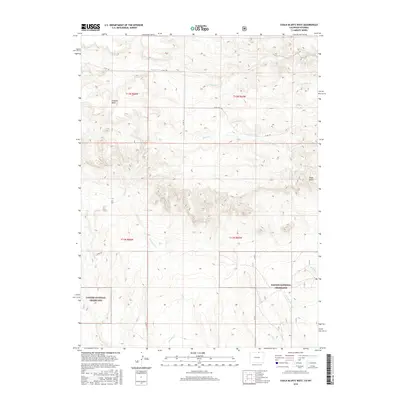
2016 Map of Chalk Bluffs West
USGS Topo · Published 2016About this map
The Pawnee National Grassland dominates the southern half of this landscape, where the high plains of Weld County meet the escarpments of the Chalk Bluffs. This 2016 survey documents a sparsely populated ranching and grazing region defined by its complex drainage network. Watercourses like Geary Cr and Eastman Cr carve into the terrain, while Simpson Mesa stands as a prominent elevation in the northwest. The map details the transition from the flat tablelands above the bluffs to the lower plains, where a grid of county roads, including Co RD 136 and Co RD 39, provides the primary infrastructure. For researchers, the map is a precise record of public lands and the intermittent streams, such as W Fork Willow Cr and Coal Cr, that shape the local geography near the Colorado-Wyoming border.
Find a feature on this map
20 named features on this map. Tap any name to fly to it.
Don’t see what you’re looking for? This feature index may not catch every label — zoom into the map to look around manually.
Map Details
Editions of this 2016 Chalk Bluffs West Map
This is the sole edition of this map. No revisions or reprints were ever made.
Other maps of this area

1908 · Eaton
USGS Topo · 1:125,000

1910 · Eaton
USGS Topo · 1:125,000

1911 · Cheyenne
USGS Topo · 1:125,000

1914 · Cheyenne
USGS Topo · 1:125,000

1950 · Cheyenne
USGS Topo · 1:62,500

1954 · Cheyenne
USGS Topo · 1:250,000

1954 · Greeley
USGS Topo · 1:250,000

1957 · Greeley
USGS Topo · 1:250,000

1958 · Cheyenne
USGS Topo · 1:250,000

1958 · Greeley
USGS Topo · 1:250,000