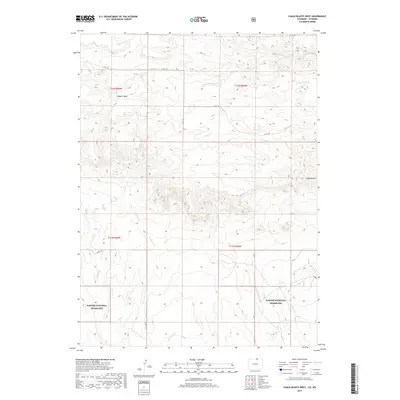
2019 Map of Chalk Bluffs West
USGS Topo · Published 2019About this map
Pawnee National Grassland dominates the southern landscape of this 2019 survey, where the high plains of northern Colorado meet the Wyoming border. The terrain is defined by the prominent Simpson Mesa in the northwest and the titular Chalk Bluffs rising to the east. This area serves as a significant drainage basin for numerous seasonal waterways, with Simpson Cr and Geary Cr carving through the arid soil of Weld County. A network of rural routes, including Co RD 138 and Co RD 136, provides access across the townships. The map illustrates a vast, open landscape managed for conservation and grazing, punctuated by named features like Eastman Cr and Coal Cr that reveal the underlying hydrology of this high-elevation grassland environment.
Find a feature on this map
20 named features on this map. Tap any name to fly to it.
Don’t see what you’re looking for? This feature index may not catch every label — zoom into the map to look around manually.
Map Details
Editions of this 2019 Chalk Bluffs West Map
This is the sole edition of this map. No revisions or reprints were ever made.
Other maps of this area

1908 · Eaton
USGS Topo · 1:125,000

1910 · Eaton
USGS Topo · 1:125,000

1911 · Cheyenne
USGS Topo · 1:125,000

1914 · Cheyenne
USGS Topo · 1:125,000

1950 · Cheyenne
USGS Topo · 1:62,500

1954 · Cheyenne
USGS Topo · 1:250,000

1954 · Greeley
USGS Topo · 1:250,000

1957 · Greeley
USGS Topo · 1:250,000

1958 · Cheyenne
USGS Topo · 1:250,000

1958 · Greeley
USGS Topo · 1:250,000