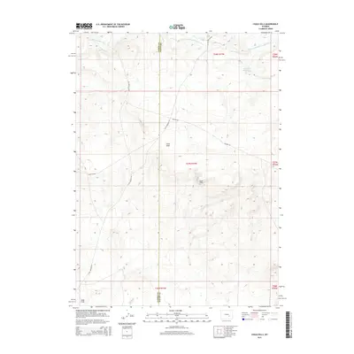
2015 Map of Chalk Hills
USGS Topo · Published 2015About this map
The Chalk Hills rise as a prominent topographic feature in this high-plains landscape where Carbon and Albany counties meet. This 2015 survey documents the drainage patterns of the Little Medicine Bow River and its S Fork, which carve through the terrain alongside watercourses like Threemile Creek. The land is defined by deep geological depressions such as Chalk Draw and Slate Draw, illustrating the erosional character of this region. A network of rural routes, including Shirley Casper Rd and Little Medicine Rd, connects these remote elevations to the broader livestock and ranching country of southeastern Wyoming. While few permanent structures are noted, the presence of the Three Mile Reservoir indicates the essential role of managed water resources in supporting this arid upland environment.
Find a feature on this map
18 named features on this map. Tap any name to fly to it.
Don’t see what you’re looking for? This feature index may not catch every label — zoom into the map to look around manually.
Map Details
Editions of this 2015 Chalk Hills Map
This is the sole edition of this map. No revisions or reprints were ever made.
Other maps of this area

1954 · Torrington
USGS Topo · 1:250,000

1955 · Casper
USGS Topo · 1:250,000

1958 · Casper
USGS Topo · 1:250,000

1958 · Torrington
USGS Topo · 1:250,000

1959 · Moss Agate Reservoir
USGS Topo · 1:24,000

1959 · Squaw Spring
USGS Topo · 1:24,000

1959 · Chalk Hills
USGS Topo · 1:24,000

1959 · Bates Creek Reservoir
USGS Topo · 1:24,000
1961 · Big Charlie Lakes
USGS Topo · 1:24,000
1961 · Walker Draw NW
USGS Topo · 1:24,000