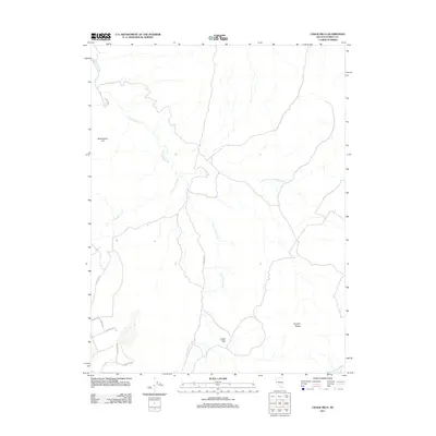
2011 Map of Chalk Hills
USGS Topo · Published 2011About this map
Long Valley Creek and Lousetown Creek carve through this high-desert terrain of the Flowery Range in Storey County. This area, dominated by the uplift of the Chalk Hills and Washington Hill, showcases a network of roads that hint at the region's mining and ranching legacy. Local access is defined by routes such as Goldfield Rd, Aurora Rd, and Overland Rd, which traverse the arid landscape.
Find a feature on this map
14 named features on this map. Tap any name to fly to it.
Don’t see what you’re looking for? This feature index may not catch every label — zoom into the map to look around manually.
Map Details
Editions of this 2011 Chalk Hills Map
This is the sole edition of this map. No revisions or reprints were ever made.
Other maps of this area

1890 · Wadsworth
USGS Topo · 1:125,000

1891 · Carson
USGS Topo · 1:125,000

1891 · Wabuska
USGS Topo · 1:125,000

1891 · Reno
USGS Topo · 1:125,000

1892 · Wadsworth
USGS Topo · 1:125,000

1893 · Carson
USGS Topo · 1:125,000

1893 · Reno
USGS Topo · 1:125,000

1894 · Wadsworth
USGS Topo · 1:125,000

1894 · Wabuska
USGS Topo · 1:125,000

1950 · Virginia City
USGS Topo · 1:62,500