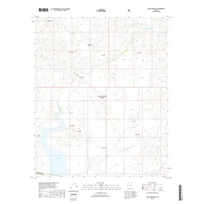
2018 Map of Chalk Mountain
USGS Topo · Published 2018About this map
The Verde River carves through the central portion of this modern survey, marking a distinct corridor of drainage in the Tonto National Forest. In the southern reaches, the Horseshoe Reservoir represents the primary hydrologic feature, fed by tributaries including Deadman Cr and Davenport Wash. This area is characterized by named mesas and flats such as H K Mesa, Mullen Mesa, and Ister Flat, indicating a landscape of high plateaus and steep drops into canyons like Hell Canyon.
Find a feature on this map
26 named features on this map. Tap any name to fly to it.
Don’t see what you’re looking for? This feature index may not catch every label — zoom into the map to look around manually.
Map Details
Editions of this 2018 Chalk Mountain Map
This is the sole edition of this map. No revisions or reprints were ever made.
Other maps of this area

1887 · Verde
USGS Topo · 1:250,000

1892 · Verde
USGS Topo · 1:250,000

1929 · Turret Peak
USGS Topo · 1:125,000

1930 · Cave Creek
USGS Topo · 1:125,000

1933 · Turret Peak
USGS Topo · 1:125,000

1939 · Cave Creek
USGS Topo · 1:125,000

1954 · Holbrook
USGS Topo · 1:250,000

1954 · Mesa
USGS Topo · 1:250,000

1957 · Mesa
USGS Topo · 1:250,000

1957 · Holbrook
USGS Topo · 1:250,000