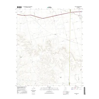
2016 Map of Chalk Peak
USGS Topo · Published 2016About this map
Mulberry Canyon and the surrounding high ground of the Callahan Divide define this West Texas landscape along the border of Nolan and Taylor counties. The northern portion of the map is shaped by the east-west corridor of Interstate 20, where the settlements of Trent and Tesco are located amidst the drainage of Noodle Creek and Stink Creek. The contrast between the flat northern farmland and the broken canyon country to the south is striking, with the terrain rising sharply toward Chalk Peak. Local history and genealogy interests are centered around the White Church Cem situated along County Road 347 near the canyon floor. The transition from the rural community of Grimes to the steep relief of Oaties Hollow illustrates the varied topography that dictated early settlement patterns and road placements in this part of the Rolling Plains.
Find a feature on this map
44 named features on this map. Tap any name to fly to it.
Don’t see what you’re looking for? This feature index may not catch every label — zoom into the map to look around manually.
Map Details
Editions of this 2016 Chalk Peak Map
This is the sole edition of this map. No revisions or reprints were ever made.
Other maps of this area

1893 · Roby
USGS Topo · 1:125,000

1893 · Sweetwater
USGS Topo · 1:125,000

1954 · Big Spring
USGS Topo · 1:250,000

1957 · Merkel
USGS Topo · 1:62,500

1957 · Noodle
USGS Topo · 1:62,500

1958 · Big Spring
USGS Topo · 1:250,000

1969 · Eskota
USGS Topo · 1:24,000

1969 · Holder Creek
USGS Topo · 1:24,000
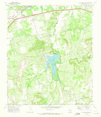
1969 · Lake Sweetwater
USGS Topo · 1:24,000
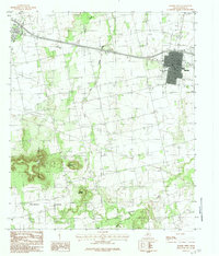
1984 · Merkel West
USGS Topo · 1:24,000