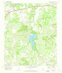
1969 Map of Lake Sweetwater
USGS Topo · Published 1973About this map
Lake Sweetwater serves as the central focal point of this West Texas landscape, surrounded by the developed Lake Sweetwater Park and a nearby Golf Course. In the late 1960s, the region's economy is clearly defined by a mix of transportation, mineral extraction, and memorial sites. To the north, the dual rail lines of the Atchison Topeka and Santa Fe and the Texas and Pacific cut across the terrain near Garden of Memories Cem and a significant Strip Mine.
Find a feature on this map
41 named features on this map. Tap any name to fly to it.
Don’t see what you’re looking for? This feature index may not catch every label — zoom into the map to look around manually.
Map Details
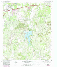
Editions of this 1969 Lake Sweetwater Map
2 editions found
Other maps of this area

1893 · Roby
USGS Topo · 1:125,000

1893 · Sweetwater
USGS Topo · 1:125,000

1954 · Big Spring
USGS Topo · 1:250,000

1957 · Merkel
USGS Topo · 1:62,500

1957 · Noodle
USGS Topo · 1:62,500

1958 · Big Spring
USGS Topo · 1:250,000

1969 · Busby
USGS Topo · 1:24,000

1969 · Eskota
USGS Topo · 1:24,000

1969 · Sweetwater
USGS Topo · 1:24,000

1969 · Holder Creek
USGS Topo · 1:24,000