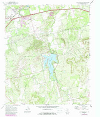
1969 Map of Lake Sweetwater
USGS Topo · Published 1987About this map
Lake Sweetwater and its surrounding parklands anchor this West Texas landscape, which is defined by a complex network of ephemeral creeks and industrial activity. The map reveals a mid-century infrastructure of pipelines, numerous Oil Wells, and several Gravel Pits that suggest a region deeply tied to resource extraction. Transport corridors are particularly prominent in the northern section, where the Atchison Topeka and Santa Fe and Missouri Pacific railroads converge near the Old Highway Road. Notable landmarks include the Drive-in Theater and Garden of Memories Cem near the town's edge. The terrain transitions from the rolling banks of Sweetwater Creek to the more pronounced elevations of Cottonwood Mountain and Beacon Hill, while names like Outlaw Canyon and Dug Spring Canyon hint at the local lore of the High Plains.
Find a feature on this map
33 named features on this map. Tap any name to fly to it.
Don’t see what you’re looking for? This feature index may not catch every label — zoom into the map to look around manually.
Map Details
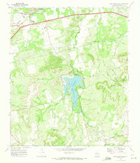
Editions of this 1969 Lake Sweetwater Map
2 editions found
Other maps of this area

1893 · Roby
USGS Topo · 1:125,000

1893 · Sweetwater
USGS Topo · 1:125,000

1954 · Big Spring
USGS Topo · 1:250,000

1957 · Merkel
USGS Topo · 1:62,500

1957 · Noodle
USGS Topo · 1:62,500

1958 · Big Spring
USGS Topo · 1:250,000

1969 · Busby
USGS Topo · 1:24,000

1969 · Eskota
USGS Topo · 1:24,000

1969 · Sweetwater
USGS Topo · 1:24,000

1969 · Holder Creek
USGS Topo · 1:24,000