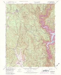
1948 Map of Challenge
USGS Topo · Published 1984About this map
The Yuba River canyon and the foothills of the Sierra Nevada define this landscape during the mid-twentieth century. Settlement patterns are concentrated in pockets like Challenge and Sharon Valley, where a Ranger Sta and Uba Co Forestry Hdqrs indicate the active management of the surrounding Plumas National Forest and Tahoe National Forest. The map documents a transition in local land use, from the older resource extraction at the Horseshoe Mine and Mother Lode Mine (Inactive) to the large-scale infrastructure represented by the New Bullards Bar Reservoir. Family-named homesteads and small settlements such as Fountain House, Indiana Ranch, and Greenville are scattered along the creek drainages, including Slapjack Creek and Little Oregon Creek. The topography is particularly detailed around peaks like Oregon Pk and Pike County Pk, showing the complex network of fire roads and lookouts used to monitor the timberlands.
Find a feature on this map
60 named features on this map. Tap any name to fly to it.
Don’t see what you’re looking for? This feature index may not catch every label — zoom into the map to look around manually.
Map Details
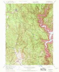
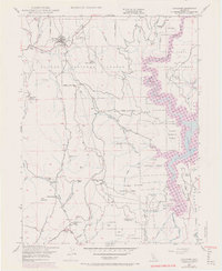
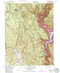
Editions of this 1948 Challenge Map
4 editions found
Other maps of this area

1888 · Smartsville
USGS Topo · 1:125,000

1888 · Bidwell Bar
USGS Topo · 1:125,000

1891 · Bidwell Bar
USGS Topo · 1:125,000

1891 · Smartsville
USGS Topo · 1:125,000

1892 · Smartsville
USGS Topo · 1:125,000

1893 · Bidwell Bar
USGS Topo · 1:125,000

1894 · Smartsville
USGS Topo · 1:125,000

1895 · Bidwell Bar
USGS Topo · 1:125,000

1895 · Smartsville
USGS Topo · 1:125,000

1897 · Bidwell Bar
USGS Topo · 1:125,000