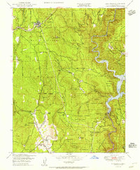
1950 Map of Challenge
USGS Topo · Published 1956About this map
The North Fork Yuba River defines the eastern landscape of this Yuba County survey, centered on the settlement of Challenge and the expansive waters of the Bullards Bar Reservoir. Located within the Plumas National Forest, the region shows a transition from 19th-century resource extraction toward modern water management, anchored by the Bullards Bar Dam. The terrain is marked by numerous family holdings and ranch sites, including Gochette Ranch, Burris Ranch, and Williams Ranch, alongside the community of Sharon Valley.
Find a feature on this map
63 named features on this map. Tap any name to fly to it.
Don’t see what you’re looking for? This feature index may not catch every label — zoom into the map to look around manually.
Map Details
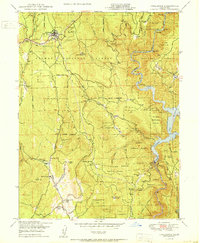
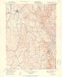
Editions of this 1950 Challenge Map
3 editions found
Other maps of this area

1888 · Smartsville
USGS Topo · 1:125,000

1888 · Bidwell Bar
USGS Topo · 1:125,000

1891 · Bidwell Bar
USGS Topo · 1:125,000

1891 · Smartsville
USGS Topo · 1:125,000

1892 · Smartsville
USGS Topo · 1:125,000

1893 · Bidwell Bar
USGS Topo · 1:125,000

1894 · Smartsville
USGS Topo · 1:125,000

1895 · Bidwell Bar
USGS Topo · 1:125,000

1895 · Smartsville
USGS Topo · 1:125,000

1897 · Bidwell Bar
USGS Topo · 1:125,000