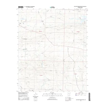
2014 Map of Chalybeate Mountain East
USGS Topo · Published 2014About this map
Chalybeate Mountain dominates the central terrain of this Clark County landscape, where the ridges of the Ouachita foothills meet the waters of De Gray Lake. Small rural communities like Lenox, Fendley, and Alpine are connected by a network of established routes and older tracks such as Military Rd and Graysonia Rd. The map reveals a deeply rooted history of settlement along the waterways, notably Terre Noire Cr and Brushy Cr, where numerous family and community burial grounds like Jordan Cem and Brushy Cem are situated. The presence of Ashworth Airport and the modern course of Ar-8 contrast with the primitive timber and access paths like Hill Trl and Piney Trl, illustrating the transition from early frontier passages to modern infrastructure while preserving the footprint of the original homesteads.
Find a feature on this map
68 named features on this map. Tap any name to fly to it.
Don’t see what you’re looking for? This feature index may not catch every label — zoom into the map to look around manually.
Map Details
Editions of this 2014 Chalybeate Mountain East Map
This is the sole edition of this map. No revisions or reprints were ever made.
Other maps of this area

1943 · Antoine
USGS Topo · 1:62,500

1955 · Little Rock
USGS Topo · 1:250,000

1956 · Little Rock
USGS Topo · 1:250,000

1960 · Little Rock
USGS Topo · 1:250,000

1964 · Little Rock
USGS Topo · 1:250,000
1966 · Point Cedar
USGS Topo · 1:24,000
1966 · Bismarck
USGS Topo · 1:24,000
1966 · Amity
USGS Topo · 1:24,000
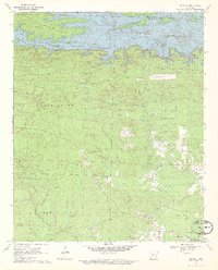
1970 · De Gray
USGS Topo · 1:24,000
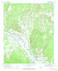
1970 · Hollywood
USGS Topo · 1:24,000