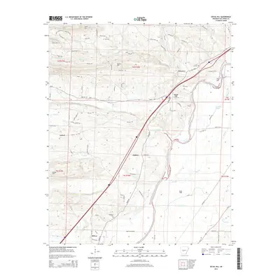
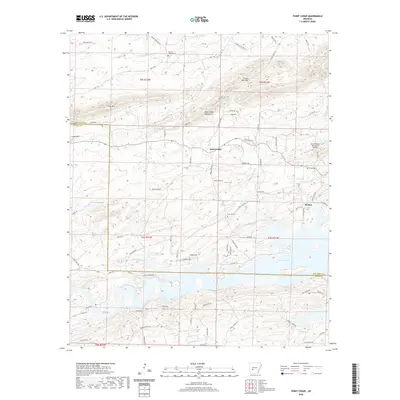
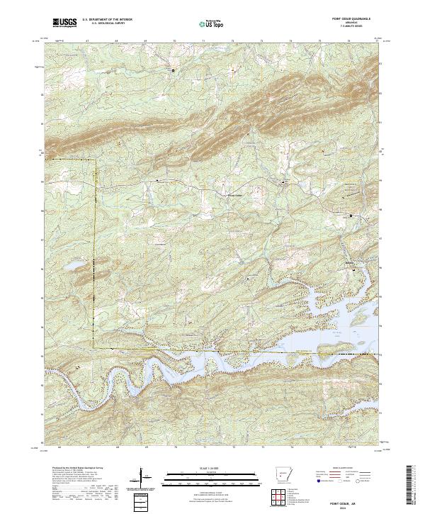
1966 Map of Point Cedar
USGS Topo · Published 1967About this map
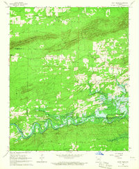
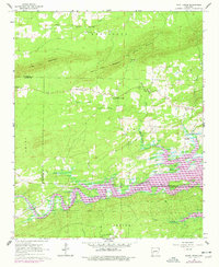
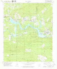
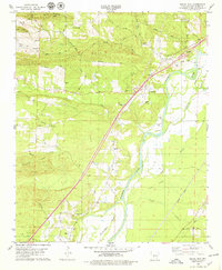
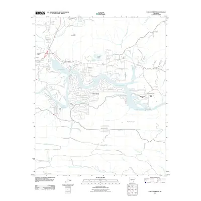
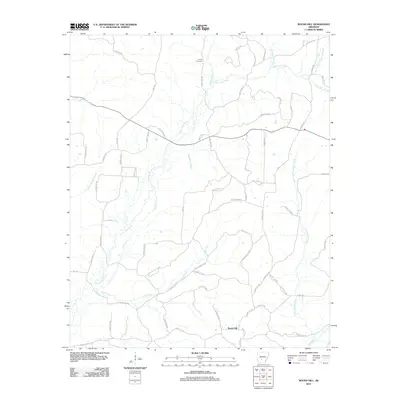
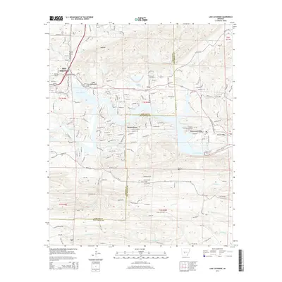
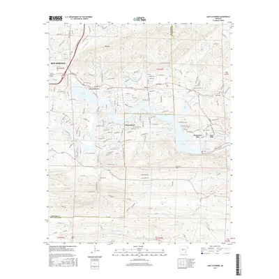
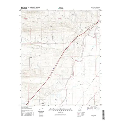
Point Cedar serves as the focal point of this mid-1960s survey, situated where the Point Cedar Mountains meet the fertile Amity Valley. The landscape is defined by the winding course of the Caddo River, which is shown during its transformation into the De Gray Reservoir. This map documents a critical transition for the river valley, noting the normal pool elevation 408 and identifying areas expected to be submerged by the coming reservoir waters.
Find a feature on this map
31 named features on this map. Tap any name to fly to it.
Don’t see what you’re looking for? This feature index may not catch every label — zoom into the map to look around manually.
Map Details
Editions of this 1966 Point Cedar Map
2 editions found
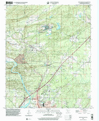
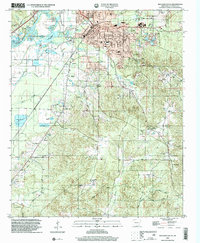
Historical Maps of Point Cedar Through Time
50 maps found
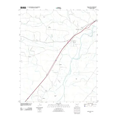
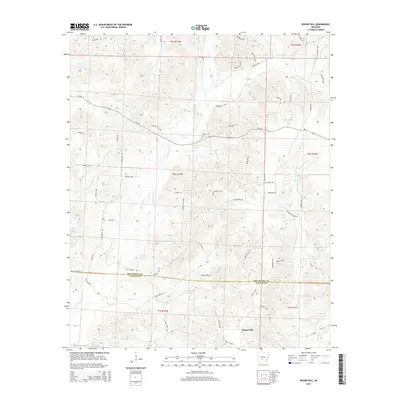
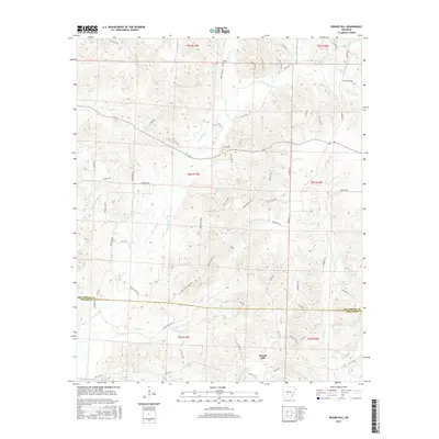
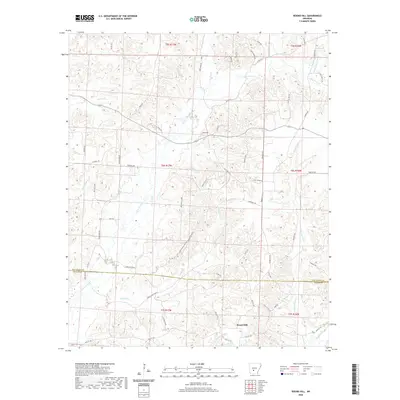
1965 Round Hill
Hot Spring County, AR
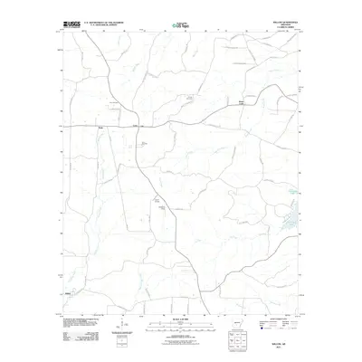
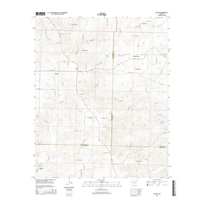
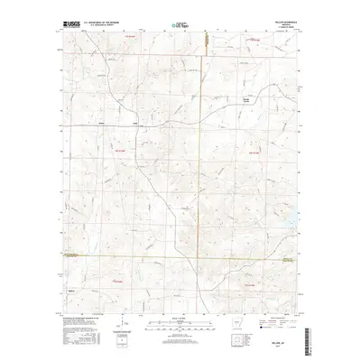
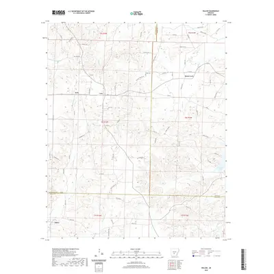
1965 Willow
Hot Spring County, AR
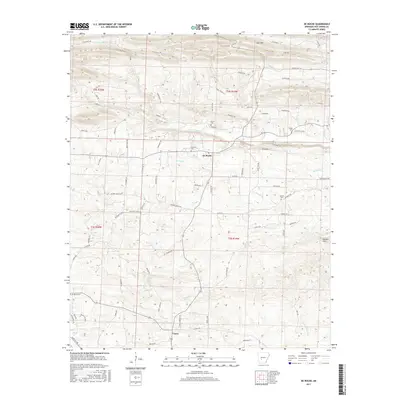
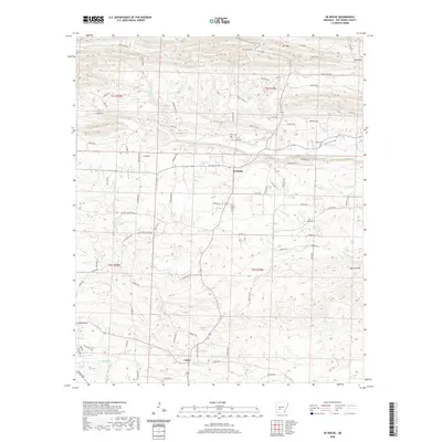
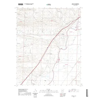
1966 De Roche
Hot Spring County, AR
1966 Point Cedar
Hot Spring County, AR
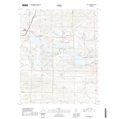
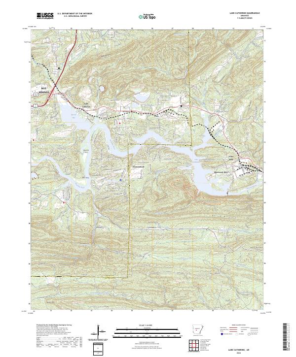
1978 Lake Catherine
Hot Spring County, AR
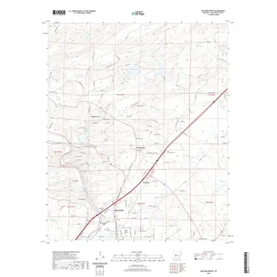
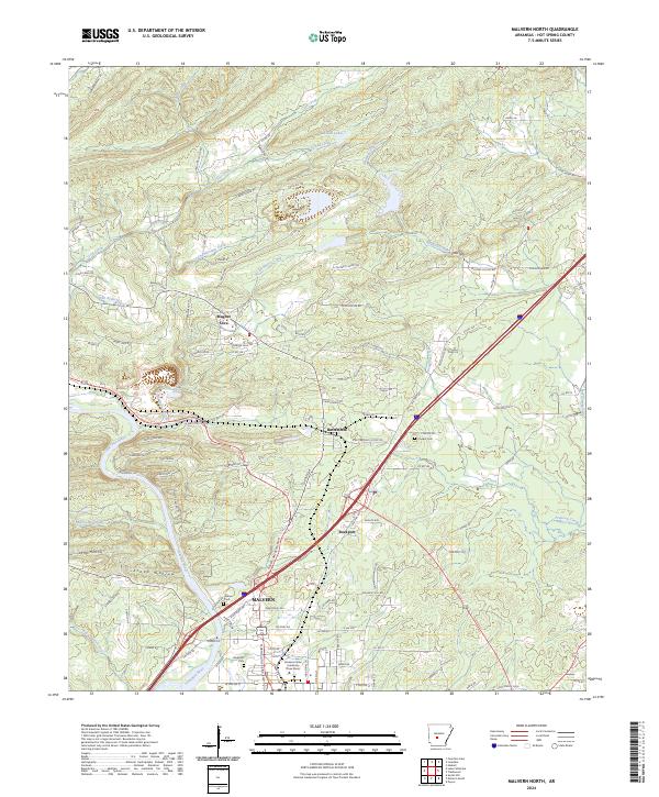
1978 Malvern North
Hot Spring County, AR
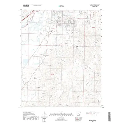
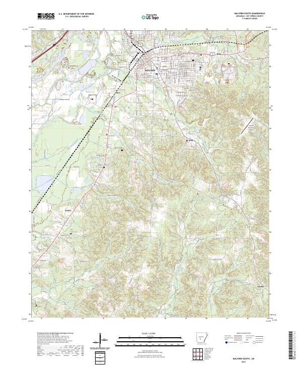
1978 Malvern South
Hot Spring County, AR
1978 Social Hill
Hot Spring County, AR
2000 Malvern North
Hot Spring County, AR
2000 Malvern South
Hot Spring County, AR
2011 De Roche
Hot Spring County, AR
2011 Lake Catherine
Hot Spring County, AR
2011 Malvern North
Hot Spring County, AR
2011 Malvern South
Hot Spring County, AR
2011 Point Cedar
Hot Spring County, AR
2011 Round Hill
Hot Spring County, AR
2011 Social Hill
Hot Spring County, AR
2011 Willow
Hot Spring County, AR
2014 De Roche
Hot Spring County, AR
2014 Lake Catherine
Hot Spring County, AR
2014 Malvern North
Hot Spring County, AR
2014 Malvern South
Hot Spring County, AR
2014 Point Cedar
Hot Spring County, AR
2014 Round Hill
Hot Spring County, AR
2014 Social Hill
Hot Spring County, AR
2014 Willow
Hot Spring County, AR
2017 De Roche
Hot Spring County, AR
2017 Lake Catherine
Hot Spring County, AR
2017 Malvern North
Hot Spring County, AR
2017 Malvern South
Hot Spring County, AR
2017 Point Cedar
Hot Spring County, AR
2017 Round Hill
Hot Spring County, AR
2017 Social Hill
Hot Spring County, AR
2017 Willow
Hot Spring County, AR
2020 De Roche
Hot Spring County, AR
2020 Lake Catherine
Hot Spring County, AR
2020 Malvern North
Hot Spring County, AR
2020 Malvern South
Hot Spring County, AR
2020 Point Cedar
Hot Spring County, AR
2020 Round Hill
Hot Spring County, AR
2020 Social Hill
Hot Spring County, AR
2020 Willow
Hot Spring County, AR
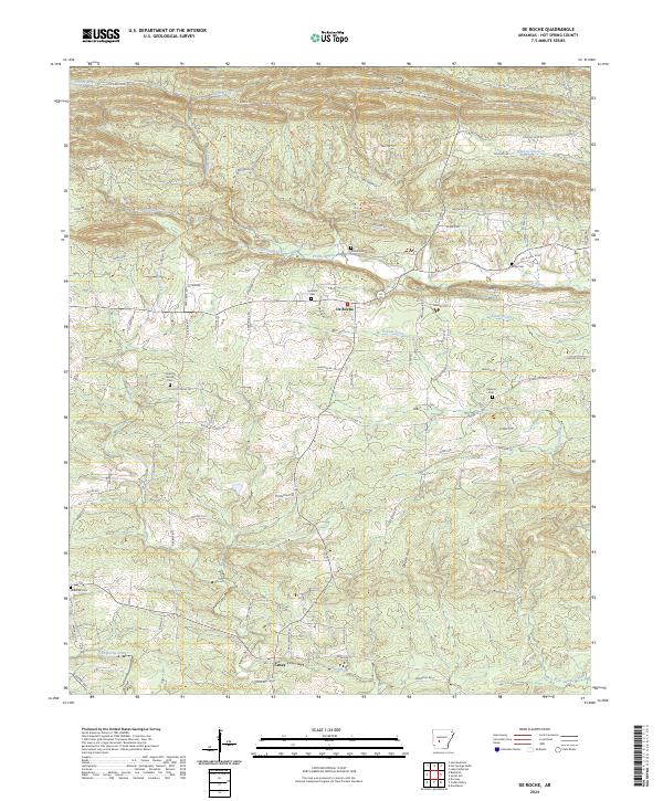
2024 De Roche
Hot Spring County, AR
2024 Lake Catherine
Hot Spring County, AR
2024 Malvern North
Hot Spring County, AR
2024 Malvern South
Hot Spring County, AR
2024 Point Cedar
Hot Spring County, AR
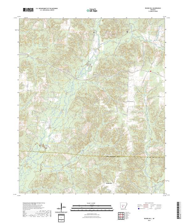
2024 Round Hill
Hot Spring County, AR
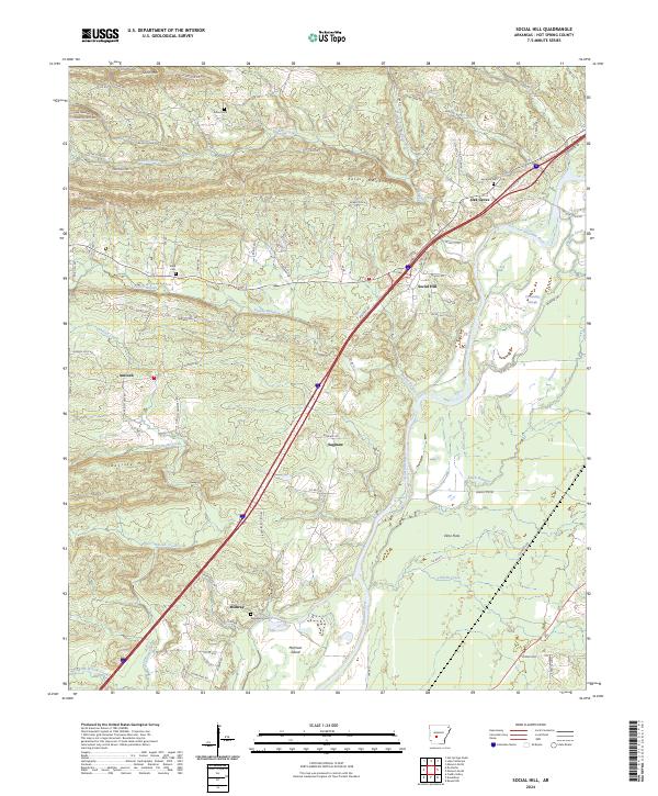
2024 Social Hill
Hot Spring County, AR
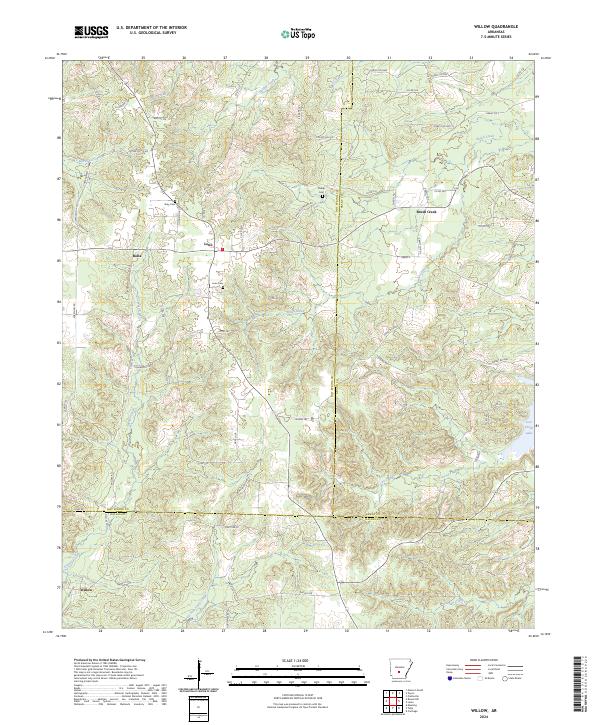
2024 Willow
Hot Spring County, AR