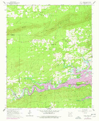
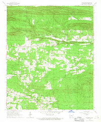
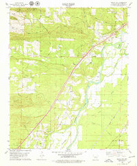
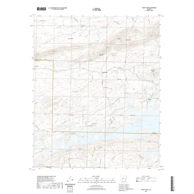
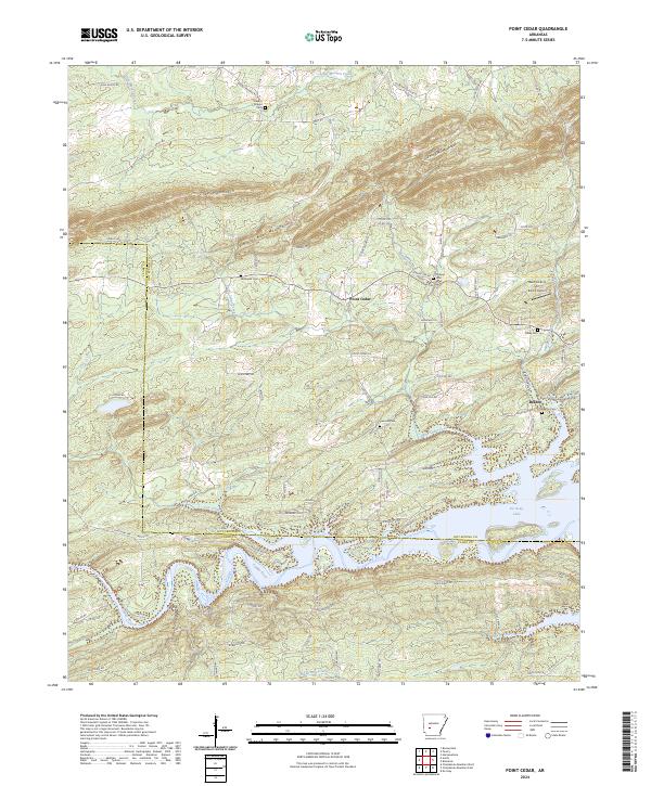
1966 Map of Point Cedar
USGS Topo · Published 1977About this map
De Gray Lake dominates the southern landscape of this 1960s survey, representing a significant transformation of the Caddo River valley. The map documents the area during a period of transition, showing the newly formed reservoir alongside established rural communities like Point Cedar and Beaton. The terrain is defined by the east-west ridges of Trap Mountain and the Cedar Mountains, which hem in the agricultural reaches of Amity Valley. Genealogists will find several rural spiritual hubs recorded, including Mazarn Chapel, Wesleyan Chapel, and Philippi Ch. The presence of a Gaging Station and the Snouse Ford Public Use Area reflects the river's management and the growing importance of water-based recreation in the mid-20th century. Scattered homesteads and small family-named churches throughout the Henderson and Alpine townships provide a detailed look at the settlement patterns of Hot Spring and Clark Counties before further development.
Find a feature on this map
28 named features on this map. Tap any name to fly to it.
Don’t see what you’re looking for? This feature index may not catch every label — zoom into the map to look around manually.
Map Details
Editions of this 1966 Point Cedar Map
2 editions found
Historical Maps of Point Cedar Through Time
50 maps found
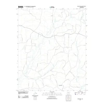
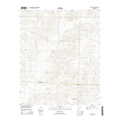
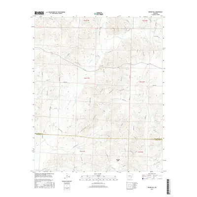
1965 Round Hill
Hot Spring County, AR
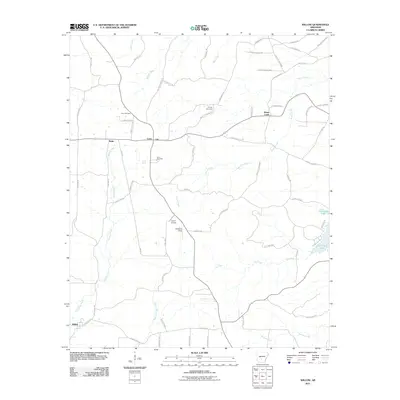
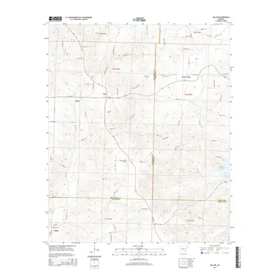
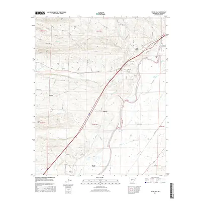
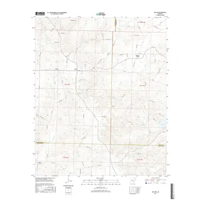
1965 Willow
Hot Spring County, AR
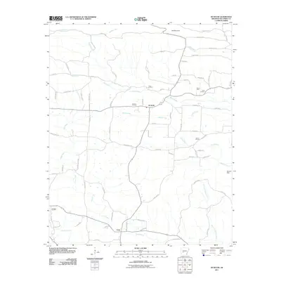
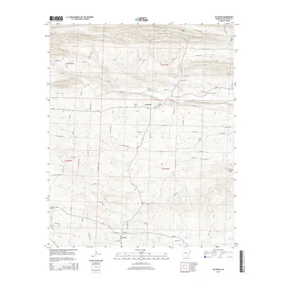
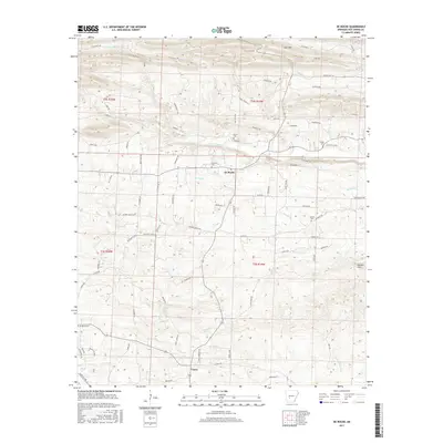
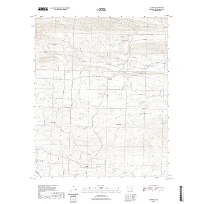
1966 De Roche
Hot Spring County, AR
1966 Point Cedar
Hot Spring County, AR
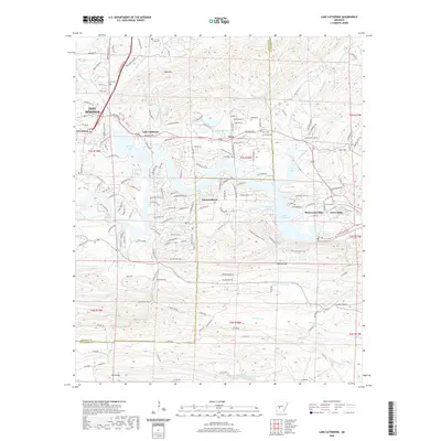
1978 Lake Catherine
Hot Spring County, AR
1978 Malvern North
Hot Spring County, AR
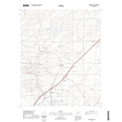
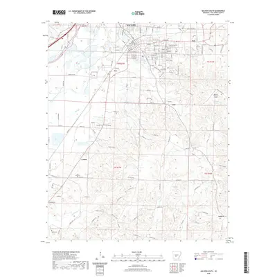
1978 Malvern South
Hot Spring County, AR
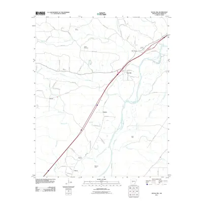
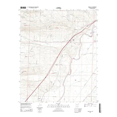
1978 Social Hill
Hot Spring County, AR
2000 Malvern North
Hot Spring County, AR
2000 Malvern South
Hot Spring County, AR
2011 De Roche
Hot Spring County, AR
2011 Lake Catherine
Hot Spring County, AR
2011 Malvern North
Hot Spring County, AR
2011 Malvern South
Hot Spring County, AR
2011 Point Cedar
Hot Spring County, AR
2011 Round Hill
Hot Spring County, AR
2011 Social Hill
Hot Spring County, AR
2011 Willow
Hot Spring County, AR
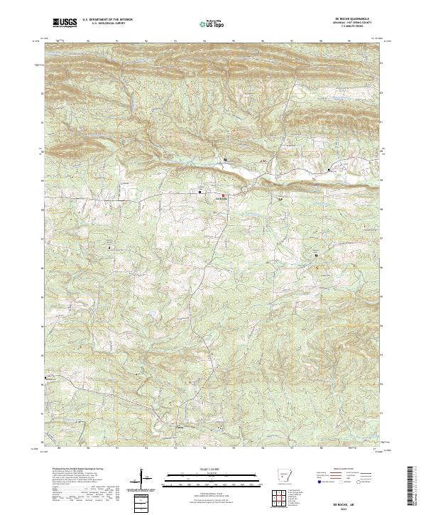
2014 De Roche
Hot Spring County, AR
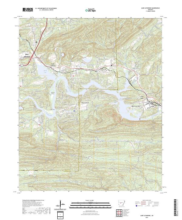
2014 Lake Catherine
Hot Spring County, AR
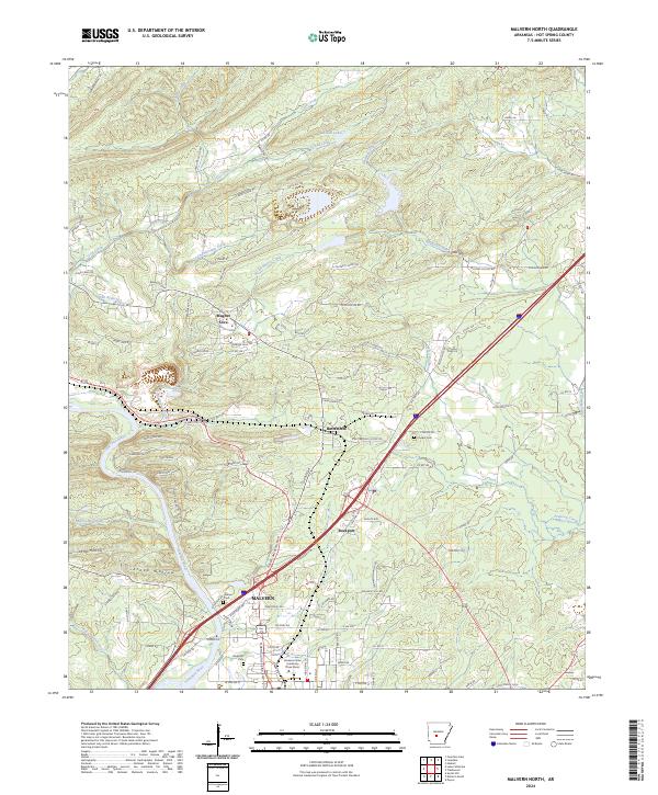
2014 Malvern North
Hot Spring County, AR
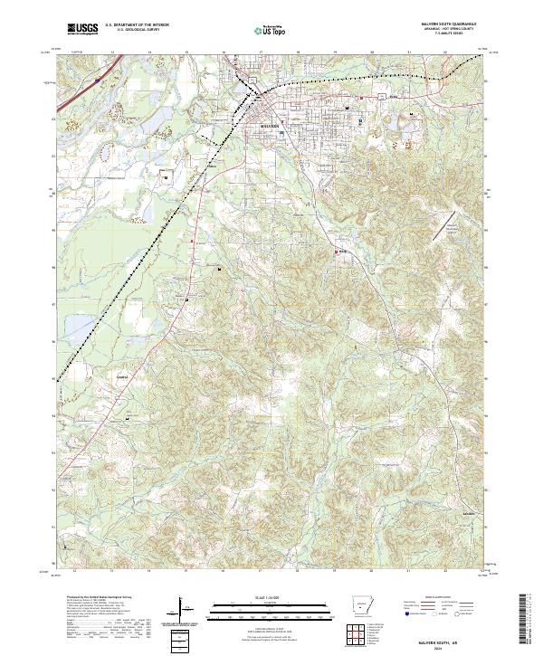
2014 Malvern South
Hot Spring County, AR
2014 Point Cedar
Hot Spring County, AR
2014 Round Hill
Hot Spring County, AR
2014 Social Hill
Hot Spring County, AR
2014 Willow
Hot Spring County, AR
2017 De Roche
Hot Spring County, AR
2017 Lake Catherine
Hot Spring County, AR
2017 Malvern North
Hot Spring County, AR
2017 Malvern South
Hot Spring County, AR
2017 Point Cedar
Hot Spring County, AR
2017 Round Hill
Hot Spring County, AR
2017 Social Hill
Hot Spring County, AR
2017 Willow
Hot Spring County, AR
2020 De Roche
Hot Spring County, AR
2020 Lake Catherine
Hot Spring County, AR
2020 Malvern North
Hot Spring County, AR
2020 Malvern South
Hot Spring County, AR
2020 Point Cedar
Hot Spring County, AR
2020 Round Hill
Hot Spring County, AR
2020 Social Hill
Hot Spring County, AR
2020 Willow
Hot Spring County, AR
2024 De Roche
Hot Spring County, AR
2024 Lake Catherine
Hot Spring County, AR
2024 Malvern North
Hot Spring County, AR
2024 Malvern South
Hot Spring County, AR
2024 Point Cedar
Hot Spring County, AR
2024 Round Hill
Hot Spring County, AR
2024 Social Hill
Hot Spring County, AR
2024 Willow
Hot Spring County, AR