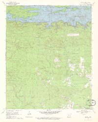
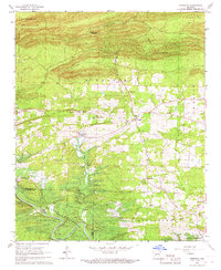
1970 Map of De Gray
USGS Topo · Published 1972About this map
Greenville and the namesake settlement of De Gray anchor this Clark County landscape at a time when the De Gray Reservoir dominated the northern geography. The impoundment of the Caddo River significantly altered the local hydrology, yet the surrounding ridges like Alpine and the wooded reaches of Long Creek preserve older settlement patterns. Numerous family and community landmarks are mapped, including Hearn Church, Mt Olive Church, and New Hope Cemetery, alongside legacy infrastructure like the Old Tram Road. This documentation captures the area's transition into a recreational and managed water resource, while still noting industrial sites like the claypit and gravel pit that speak to the local extraction economy. The network of forest roads and trails, such as Golden Trail and Piney Trail, provides a clear view of the rural movement between these small upland communities and the river valley.
Find a feature on this map
37 named features on this map. Tap any name to fly to it.
Don’t see what you’re looking for? This feature index may not catch every label — zoom into the map to look around manually.
Map Details
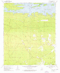
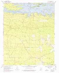
Editions of this 1970 De Gray Map
3 editions found
Other maps of this area

1943 · Antoine
USGS Topo · 1:62,500

1955 · Little Rock
USGS Topo · 1:250,000

1956 · Little Rock
USGS Topo · 1:250,000

1959 · Caddo Valley
USGS Topo · 1:24,000

1959 · Arkadelphia
USGS Topo · 1:24,000

1960 · Little Rock
USGS Topo · 1:250,000

1964 · Little Rock
USGS Topo · 1:250,000

1966 · De Roche
USGS Topo · 1:24,000
1966 · Point Cedar
USGS Topo · 1:24,000
1966 · Bismarck
USGS Topo · 1:24,000