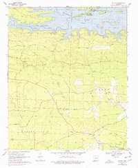
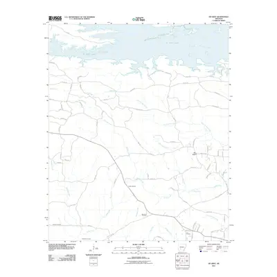
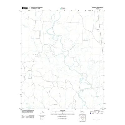
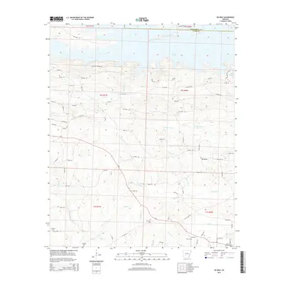
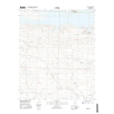
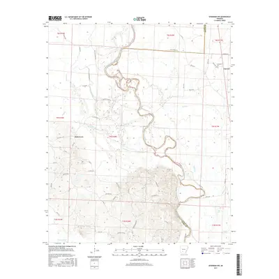
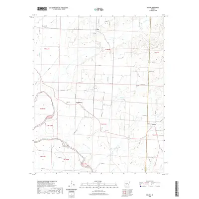
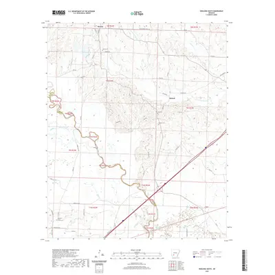
1970 Map of De Gray
USGS Topo · Published 1976About this map
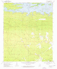
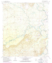
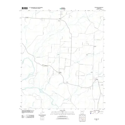
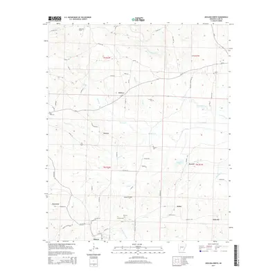
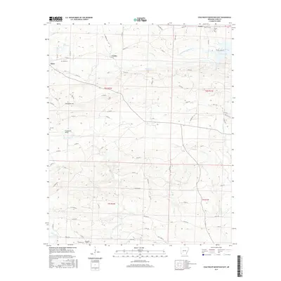
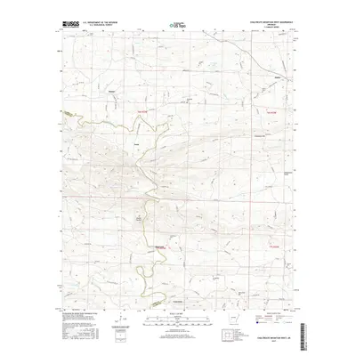
De Gray Lake dominates the northern reaches of this Arkansas landscape, where the Caddo River flows through the border lands of Hot Spring Co and Clark Co. The 1970 survey captures a region of timber and water, defined by the winding paths of Brushy Creek, Little DeGray Creek, and Deceiver Creek. High points along Skyline Drive provide vantage over the wooded terrain, including a notable Lookout Tower situated south of the lake.
Find a feature on this map
34 named features on this map. Tap any name to fly to it.
Don’t see what you’re looking for? This feature index may not catch every label — zoom into the map to look around manually.
Map Details
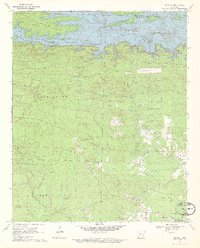
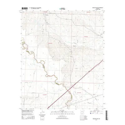
Editions of this 1970 De Gray Map
3 editions found
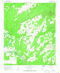
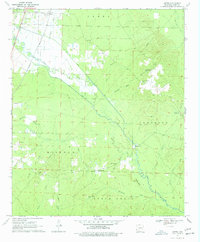
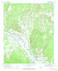
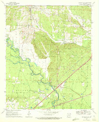
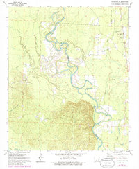
Historical Maps of De Gray Through Time
60 maps found
1965 Dalark
Clark County, AR
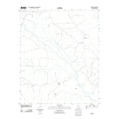
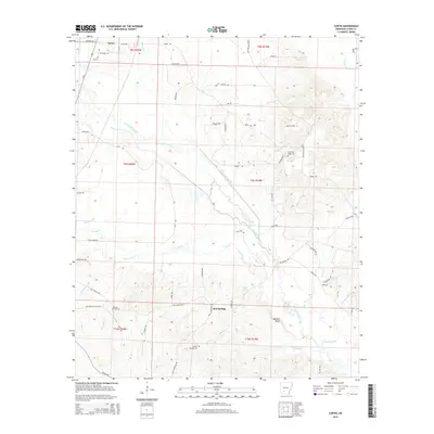
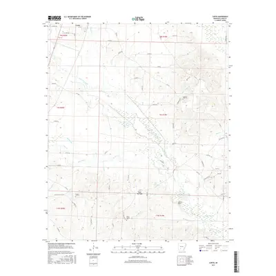
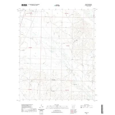
1970 Curtis
Clark County, AR
1970 De Gray
Clark County, AR
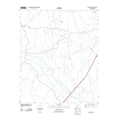
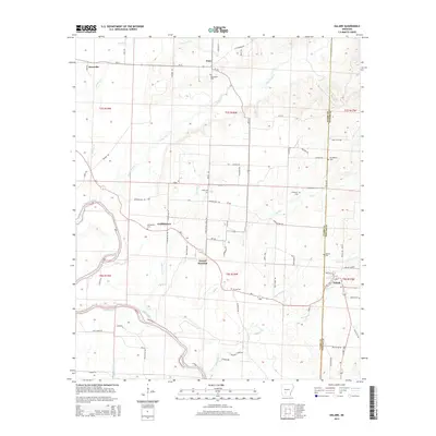
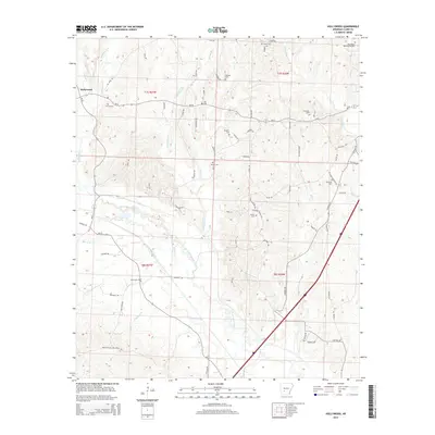
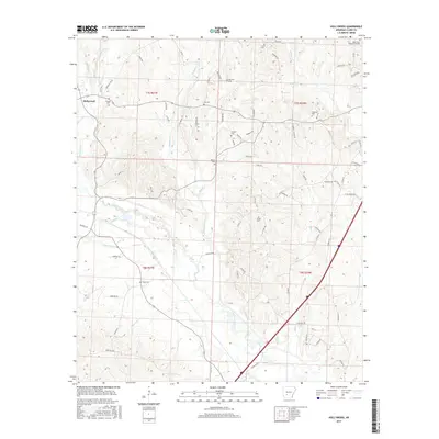
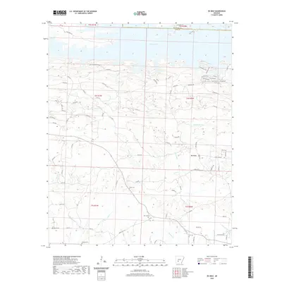
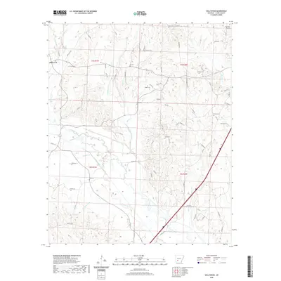
1970 Hollywood
Clark County, AR
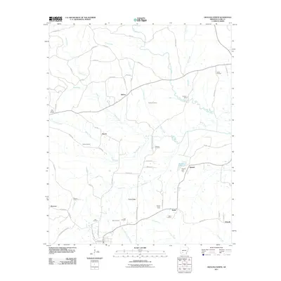
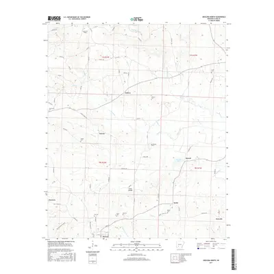
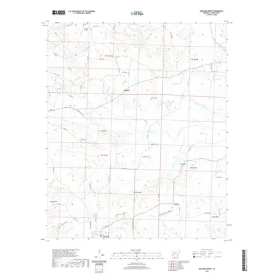
1970 Okolona South
Clark County, AR
1971 Sparkman NW
Clark County, AR
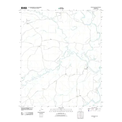
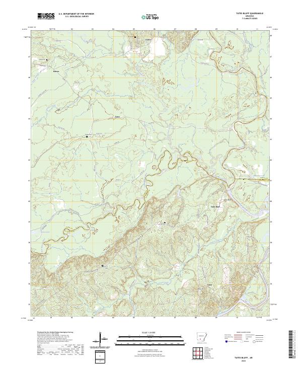
1971 Tates Bluff
Clark County, AR
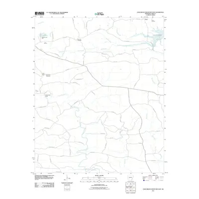
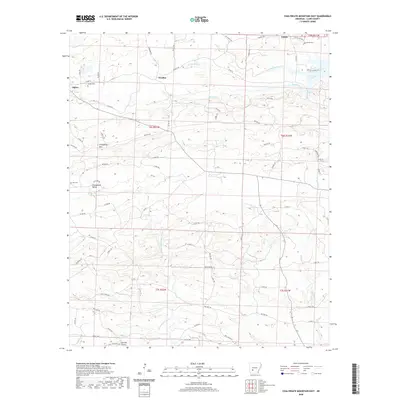
1975 Chalybeate Mtn East
Clark County, AR
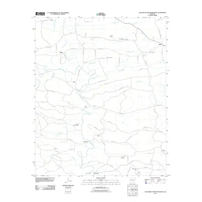
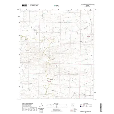
1975 Chalybeate Mtn West
Clark County, AR
1975 Okolona North
Clark County, AR
2011 Chalybeate Mountain East
Clark County, AR
2011 Chalybeate Mountain West
Clark County, AR
2011 Curtis
Clark County, AR
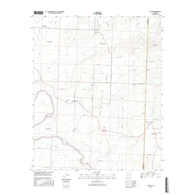
2011 Dalark
Clark County, AR
2011 De Gray
Clark County, AR
2011 Hollywood
Clark County, AR
2011 Okolona North
Clark County, AR
2011 Okolona South
Clark County, AR
2011 Sparkman NW
Clark County, AR
2011 Tates Bluff
Clark County, AR
2014 Chalybeate Mountain East
Clark County, AR
2014 Chalybeate Mountain West
Clark County, AR
2014 Curtis
Clark County, AR
2014 Dalark
Clark County, AR
2014 De Gray
Clark County, AR
2014 Hollywood
Clark County, AR
2014 Okolona North
Clark County, AR
2014 Okolona South
Clark County, AR
2014 Sparkman NW
Clark County, AR
2014 Tates Bluff
Clark County, AR
2017 Chalybeate Mountain East
Clark County, AR
2017 Chalybeate Mountain West
Clark County, AR
2017 Curtis
Clark County, AR
2017 Dalark
Clark County, AR
2017 De Gray
Clark County, AR
2017 Hollywood
Clark County, AR
2017 Okolona North
Clark County, AR
2017 Okolona South
Clark County, AR
2017 Sparkman NW
Clark County, AR

2017 Tates Bluff
Clark County, AR
2020 Chalybeate Mountain East
Clark County, AR
2020 Chalybeate Mountain West
Clark County, AR
2020 Curtis
Clark County, AR
2020 Dalark
Clark County, AR
2020 De Gray
Clark County, AR
2020 Hollywood
Clark County, AR
2020 Okolona North
Clark County, AR
2020 Okolona South
Clark County, AR
2020 Sparkman NW
Clark County, AR
2020 Tates Bluff
Clark County, AR
2024 Chalybeate Mountain East
Clark County, AR
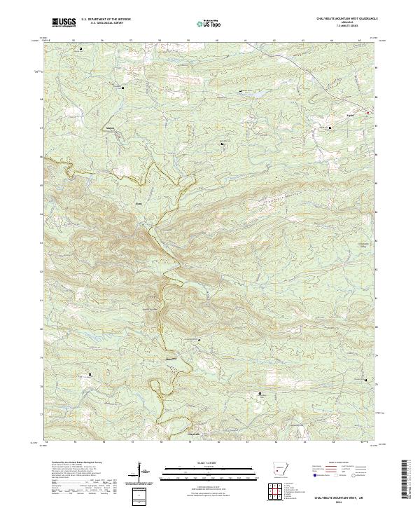
2024 Chalybeate Mountain West
Clark County, AR
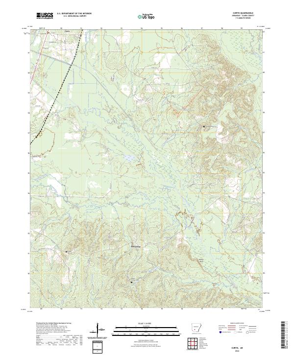
2024 Curtis
Clark County, AR
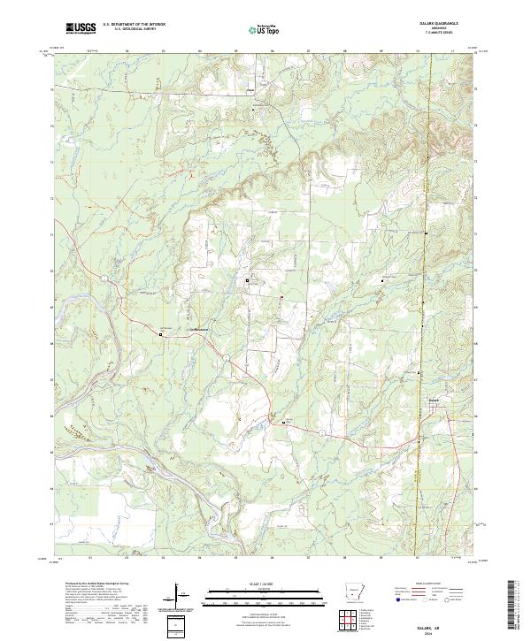
2024 Dalark
Clark County, AR
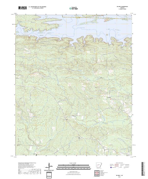
2024 De Gray
Clark County, AR
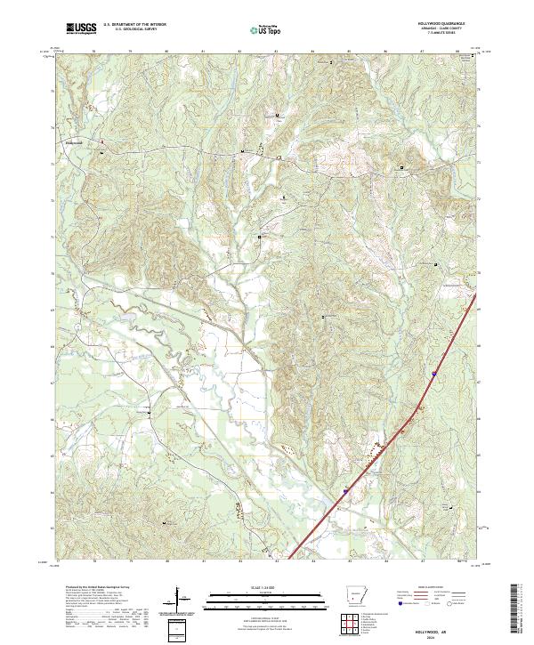
2024 Hollywood
Clark County, AR
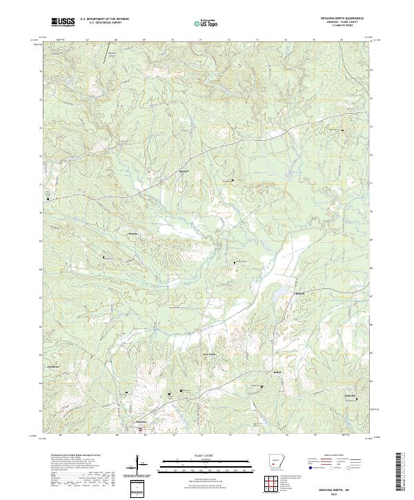
2024 Okolona North
Clark County, AR
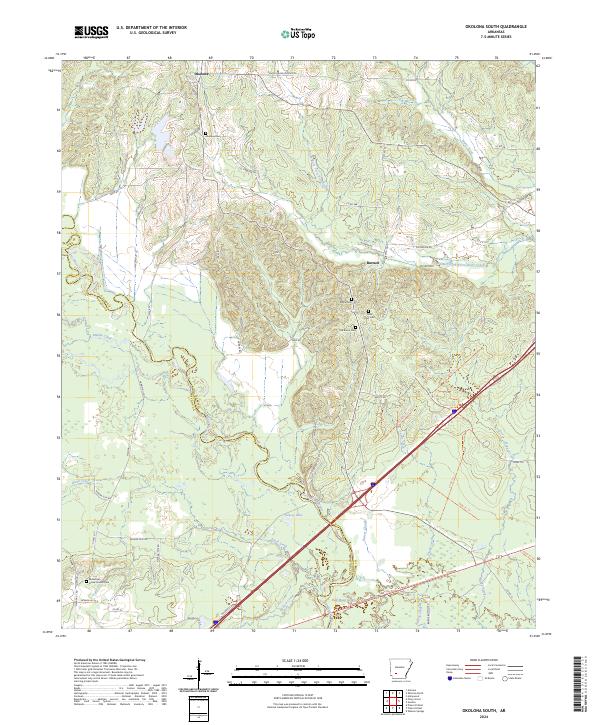
2024 Okolona South
Clark County, AR
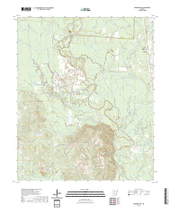
2024 Sparkman NW
Clark County, AR
2024 Tates Bluff
Clark County, AR