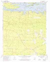
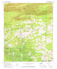
1970 Map of De Gray
USGS Topo · Published 1977About this map
De Gray Lake and the Caddo River dominate the northern landscape of this Clark County survey, reflecting a period of significant hydraulic transition. The map identifies areas subject to controlled inundation, illustrating the creation of the reservoir and the establishment of De Gray State Park. South of the water, the terrain transitions into the heavily timbered hills of Alpine and Greenville, where a network of historic tracks such as the Golden Trail, Piney Trail, and Wingfield Trail crisscross the ridges.
Find a feature on this map
40 named features on this map. Tap any name to fly to it.
Don’t see what you’re looking for? This feature index may not catch every label — zoom into the map to look around manually.
Map Details
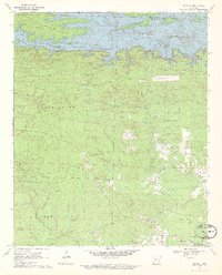
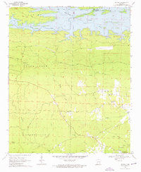
Editions of this 1970 De Gray Map
3 editions found
Other maps of this area

1943 · Antoine
USGS Topo · 1:62,500

1955 · Little Rock
USGS Topo · 1:250,000

1956 · Little Rock
USGS Topo · 1:250,000

1959 · Caddo Valley
USGS Topo · 1:24,000

1959 · Arkadelphia
USGS Topo · 1:24,000

1960 · Little Rock
USGS Topo · 1:250,000

1964 · Little Rock
USGS Topo · 1:250,000

1966 · De Roche
USGS Topo · 1:24,000
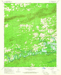
1966 · Point Cedar
USGS Topo · 1:24,000
1966 · Bismarck
USGS Topo · 1:24,000