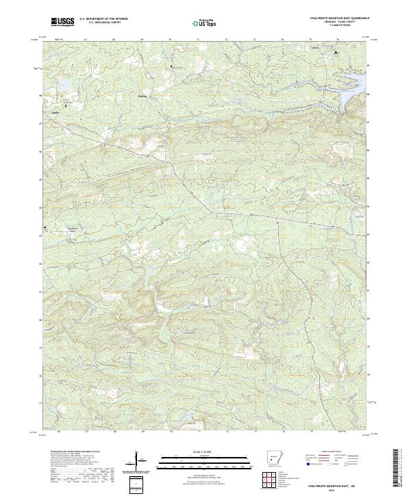
2024 Map of Chalybeate Mountain East
USGS Topo · Published 2024About this map
Chalybeate Mountain dominates the central landscape of this Clark County survey, dividing the drainage of Brushy Creek and Gus Still Creek to the north from the Terre Noire Creek watershed to the south. The terrain is defined by its deep ridges and valleys, with small rural communities like Alpine, Fendley, and Lenox situated along the winding roads that navigate the complex topography. The northeastern corner of the map reveals the finger-like reaches of De Gray Lake, highlighting the impact of water management on the local geography.
Find a feature on this map
74 named features on this map. Tap any name to fly to it.
Don’t see what you’re looking for? This feature index may not catch every label — zoom into the map to look around manually.
Map Details
Editions of this 2024 Chalybeate Mountain East Map
This is the sole edition of this map. No revisions or reprints were ever made.
Other maps of this area

1943 · Antoine
USGS Topo · 1:62,500

1955 · Little Rock
USGS Topo · 1:250,000

1956 · Little Rock
USGS Topo · 1:250,000

1960 · Little Rock
USGS Topo · 1:250,000

1964 · Little Rock
USGS Topo · 1:250,000
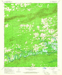
1966 · Point Cedar
USGS Topo · 1:24,000
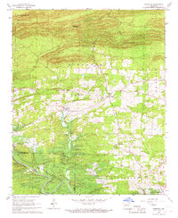
1966 · Bismarck
USGS Topo · 1:24,000
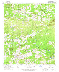
1966 · Amity
USGS Topo · 1:24,000
1970 · De Gray
USGS Topo · 1:24,000
1970 · Hollywood
USGS Topo · 1:24,000