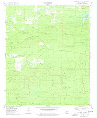
1975 Map of Chalybeate Mtn East
USGS Topo · Published 1978About this map
Chalybeate Mountain dominates the northern landscape of this Clark County survey, with its prominent Skyline Drive ridge-top road overlooking the agricultural and timbered lowlands. To the south, Chalybeate Valley is home to the Chalybeate Valley Ch and Hill Cem, serving as a cultural hub for dispersed rural residents. The map captures a moment when traditional land use, represented by the Military Road and various family-named landmarks like the Jordan Cem, meets more modern developments such as the De Gray Lake shoreline and its Brushy Creek Access Point. Numerous stream crossings, marked as Ford at various points along Terre Noire Creek, indicate a landscape still closely tied to its natural hydrology. Small settlements like Alpine and Fendley provide focal points for researchers looking into the mid-century rural character of southwestern Arkansas.
Find a feature on this map
38 named features on this map. Tap any name to fly to it.
Don’t see what you’re looking for? This feature index may not catch every label — zoom into the map to look around manually.
Map Details
Editions of this 1975 Chalybeate Mtn East Map
This is the sole edition of this map. No revisions or reprints were ever made.
Other maps of this area

1943 · Antoine
USGS Topo · 1:62,500

1955 · Little Rock
USGS Topo · 1:250,000

1956 · Little Rock
USGS Topo · 1:250,000

1960 · Little Rock
USGS Topo · 1:250,000

1964 · Little Rock
USGS Topo · 1:250,000
1966 · Point Cedar
USGS Topo · 1:24,000
1966 · Bismarck
USGS Topo · 1:24,000
1966 · Amity
USGS Topo · 1:24,000
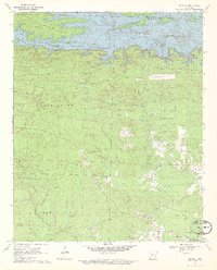
1970 · De Gray
USGS Topo · 1:24,000
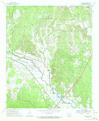
1970 · Hollywood
USGS Topo · 1:24,000