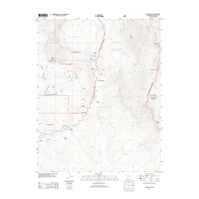
2013 Map of Chama Peak
USGS Topo · Published 2013About this map
The Continental Divide crests along the eastern edge of this high-altitude landscape in Archuleta County, where the headwaters of the Navajo River and Rio Chamita drain southern Colorado. Industrial activity is represented by the Gramps Oil Field and subterranean water infrastructure like the Oso Tunnel and Azotea Tunnel. High-country meadows and parks, including West Meadow, Virginia Meadow, and Sketter Park, are interspersed among the peaks of the Chalk Mountains and San Juan National Forest. Local land use is characterized by the Banded Peak Ranch and seasonal sites like Lowe Camp, while an intricate network of waterways such as Cutthroat Cr and Dolomite Lake define the drainage patterns of the western slope. Notable named canyons, including Weisel Canyon and Wolcott Canyon, cut through the terrain near the Eaklor Ditch and King Ditch irrigation features.
Find a feature on this map
76 named features on this map. Tap any name to fly to it.
Don’t see what you’re looking for? This feature index may not catch every label — zoom into the map to look around manually.
Map Details
Editions of this 2013 Chama Peak Map
This is the sole edition of this map. No revisions or reprints were ever made.
Other maps of this area

1913 · Summitville
USGS Topo · 1:125,000

1915 · Summitville
USGS Topo · 1:125,000

1945 · Durango
USGS Topo · 1:250,000

1953 · Durango
USGS Topo · 1:250,000

1954 · Durango
USGS Topo · 1:250,000

1954 · Aztec
USGS Topo · 1:250,000

1955 · Chama
USGS Topo · 1:62,500

1955 · Lumberton
USGS Topo · 1:62,500

1957 · Chromo
USGS Topo · 1:62,500

1957 · Chama Peak
USGS Topo · 1:62,500