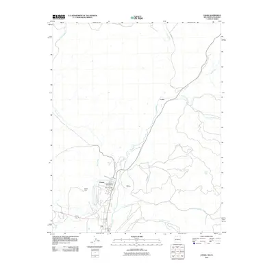
2010 Map of Chama
USGS Topo · Published 2010About this map
The Cumbres and Toltec Scenic Railroad winds through the high terrain of northern New Mexico, following the course of the Rio Chama as it flows south toward the settlement of Chama. This 2010 survey illustrates the meeting of several significant waterways, including the confluence of the Rio Chamita and the larger river valley, a landscape shaped by narrow-gauge rail history and mountain hydrology. Local landmarks such as the Chama Post Office and the Chama Cemetery anchor the community, while the higher elevations are marked by Rabbit Peak and the drainage of Wolf Creek. Further north, the rail line passes through Lobato, tracing the rugged path established by early surveyors. The map provides a look at the intersection of traditional land use and the modern preservation of steam-era transportation infrastructure in Rio Arriba County.
Find a feature on this map
15 named features on this map. Tap any name to fly to it.
Don’t see what you’re looking for? This feature index may not catch every label — zoom into the map to look around manually.
Map Details
Editions of this 2010 Chama Map
This is the sole edition of this map. No revisions or reprints were ever made.
Other maps of this area

1913 · Summitville
USGS Topo · 1:125,000

1915 · Summitville
USGS Topo · 1:125,000

1918 · Tusas
USGS Topo · 1:125,000

1922 · Conejos
USGS Topo · 1:125,000

1945 · Durango
USGS Topo · 1:250,000

1953 · Durango
USGS Topo · 1:250,000

1954 · Durango
USGS Topo · 1:250,000

1954 · Aztec
USGS Topo · 1:250,000

1955 · Chama
USGS Topo · 1:62,500

1955 · Brazos Peak
USGS Topo · 1:62,500