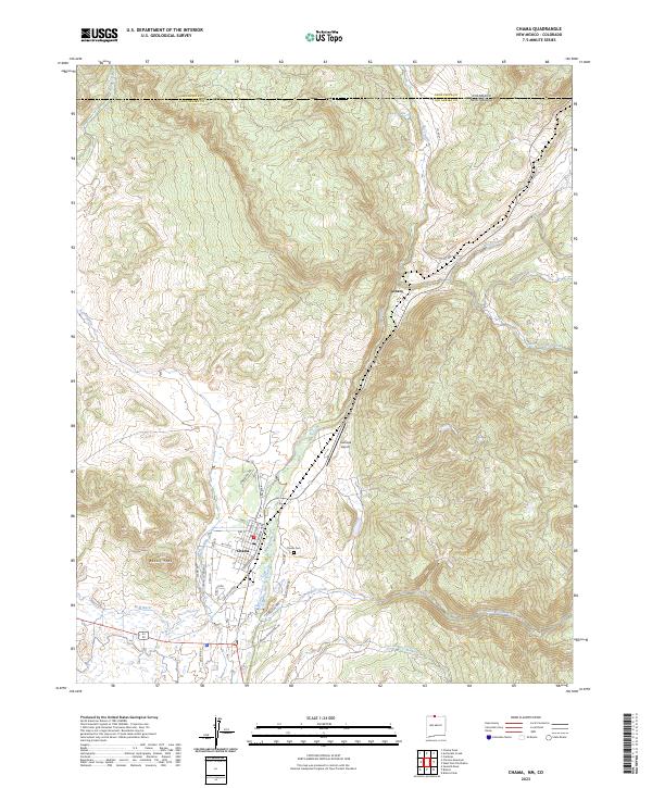
2023 Map of Chama
USGS Topo · Published 2023About this map
The village of Chama serves as the focal point of this northern New Mexico survey, situated at the convergence of the Rio Chama and Rio Chamita. The town's grid is detailed with residential streets such as Pine Ave and Terrace Ave, while the Chama Cem lies on the eastern edge of the valley. To the north, the settlement of Lobato marks the landscape near the Colorado border, where the terrain rises toward Rabbit Peak. Water management is evident through features like the M B Ditch, while the higher elevations are defined by the winding paths of Wolf Creek and Little Willow Creek. The presence of the Eastside Airport and the state boundary line between Colorado and New Mexico highlights the area's role as a geographic gateway. This modern topographic study reveals a landscape shaped by narrow river valleys and high mountain peaks, typical of the Rio Arriba highlands.
Find a feature on this map
36 named features on this map. Tap any name to fly to it.
Don’t see what you’re looking for? This feature index may not catch every label — zoom into the map to look around manually.
Map Details
Editions of this 2023 Chama Map
This is the sole edition of this map. No revisions or reprints were ever made.
Other maps of this area

1913 · Summitville
USGS Topo · 1:125,000

1915 · Summitville
USGS Topo · 1:125,000

1918 · Tusas
USGS Topo · 1:125,000

1922 · Conejos
USGS Topo · 1:125,000

1945 · Durango
USGS Topo · 1:250,000

1953 · Durango
USGS Topo · 1:250,000

1954 · Durango
USGS Topo · 1:250,000

1954 · Aztec
USGS Topo · 1:250,000

1955 · Chama
USGS Topo · 1:62,500

1955 · Brazos Peak
USGS Topo · 1:62,500