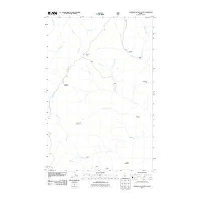
2011 Map of Chamberlain Mountain
USGS Topo · Published 2011About this map
Clearwater Mine and the rugged drainage basins of the Bitterroot National Forest define this section of Shoshone County in the early twenty-first century. This landscape is characterized by a dense network of mountain streams, including the central Meadow Creek and Chamberlain Creek, which carve through the high-elevation terrain between Chamberlain Mountain and Birch Mountain. Small, localized sites of human activity are scattered across the wilderness, such as Chamberlain Meadows and Klug Cabin near the southern boundary.
Find a feature on this map
24 named features on this map. Tap any name to fly to it.
Don’t see what you’re looking for? This feature index may not catch every label — zoom into the map to look around manually.
Map Details
Editions of this 2011 Chamberlain Mountain Map
This is the sole edition of this map. No revisions or reprints were ever made.
Other maps of this area

1911 · Lolo
USGS Topo · 1:250,000

1913 · Lolo
USGS Topo · 1:250,000

1918 · St Regis
USGS Topo · 1:125,000

1919 · St. Regis
USGS Topo · 1:125,000

1956 · Wallace
USGS Topo · 1:250,000

1956 · Hamilton
USGS Topo · 1:250,000

1957 · Illinois Peak
USGS Topo · 1:62,500

1957 · Simmons Peak
USGS Topo · 1:62,500

1959 · Hamilton
USGS Topo · 1:250,000

1960 · Wallace
USGS Topo · 1:250,000