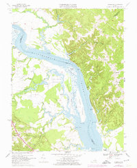
1968 Map of Champlain
USGS Topo · Published 1974About this map
The Rappahannock River serves as the central artery for this coastal Virginia landscape, winding between the high bluffs of Fones Cliffs and the low-lying marshes of Beverly Marsh. The map illustrates a river-centered economy and social structure, where historical landings such as Smith Mount Landing, Carters Wharf, and Daingerfield Landing provided essential access for trade and travel. In the uplands, small crossroads communities like Foneswood, Singerly, and Champlain are established around rural congregations at Ephesus Ch and Antioch Ch.
Find a feature on this map
54 named features on this map. Tap any name to fly to it.
Don’t see what you’re looking for? This feature index may not catch every label — zoom into the map to look around manually.
Map Details
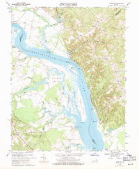
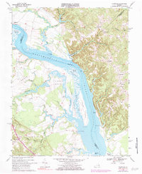
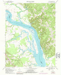
Editions of this 1968 Champlain Map
4 editions found
Other maps of this area

1889 · Fredericksburg
USGS Topo · 1:125,000

1892 · Fredericksburg
USGS Topo · 1:125,000

1892 · Montross
USGS Topo · 1:62,500

1894 · Fredericksburg
USGS Topo · 1:125,000

1895 · Nomini
USGS Topo · 1:125,000

1895 · Montross
USGS Topo · 1:62,500

1898 · Nomini
USGS Topo · 1:125,000

1918 · Tappahannock
USGS Topo · 1:62,500

1918 · Aylett
USGS Topo · 1:62,500

1919 · Tappahannock
USGS Topo · 1:62,500