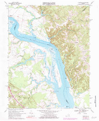
1968 Map of Champlain
USGS Topo · Published 1984About this map
The Rappahannock River defines the landscape of this survey, dividing the peninsula necks of Essex County from the heights of Richmond and Westmoreland Counties. The river's historical role as a primary transportation artery is evident in the numerous landings and wharves, such as Carters Wharf, Daingerfield Landing, and Smoots Landing, which once served as vital links for plantation commerce. Along the eastern banks, the dramatic Fones Cliffs rise above the water, while the western shore is characterized by extensive marshlands like Otterburn Marsh and the complex tidal inlets of Occupacia Creek.
Find a feature on this map
61 named features on this map. Tap any name to fly to it.
Don’t see what you’re looking for? This feature index may not catch every label — zoom into the map to look around manually.
Map Details
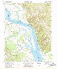
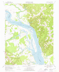
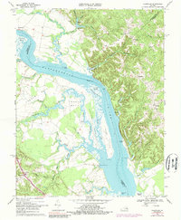
Editions of this 1968 Champlain Map
4 editions found
Other maps of this area

1889 · Fredericksburg
USGS Topo · 1:125,000

1892 · Fredericksburg
USGS Topo · 1:125,000

1892 · Montross
USGS Topo · 1:62,500

1894 · Fredericksburg
USGS Topo · 1:125,000

1895 · Nomini
USGS Topo · 1:125,000

1895 · Montross
USGS Topo · 1:62,500

1898 · Nomini
USGS Topo · 1:125,000

1918 · Tappahannock
USGS Topo · 1:62,500

1918 · Aylett
USGS Topo · 1:62,500

1919 · Tappahannock
USGS Topo · 1:62,500