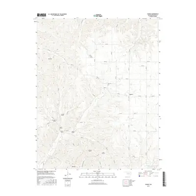
2016 Map of Chance
USGS Topo · Published 2016About this map
Tyner Creek carves a deep path through this portion of Adair County, defining a landscape of narrow ridges and deeply recessed hollows. In the mid-2010s, this area remained characterized by its small rural settlements and an intricate network of local roads such as d0602 RD and n4690 RD. The community of Chance sits near the center of the map, while Chewey occupies the northwestern corner and Proctor lies to the south.
Find a feature on this map
51 named features on this map. Tap any name to fly to it.
Don’t see what you’re looking for? This feature index may not catch every label — zoom into the map to look around manually.
Map Details
Editions of this 2016 Chance Map
This is the sole edition of this map. No revisions or reprints were ever made.
Other maps of this area

1898 · Tahlequah
USGS Topo · 1:125,000

1899 · Siloam Springs
USGS Topo · 1:125,000

1901 · Tahlequah
USGS Topo · 1:125,000

1903 · Siloam Springs
USGS Topo · 1:125,000

1904 · Siloam Springs
USGS Topo · 1:125,000

1905 · Tahlequah
USGS Topo · 1:125,000

1946 · Fort Smith
USGS Topo · 1:250,000

1954 · Tulsa
USGS Topo · 1:250,000

1958 · Tulsa
USGS Topo · 1:250,000

1963 · Tulsa
USGS Topo · 1:250,000