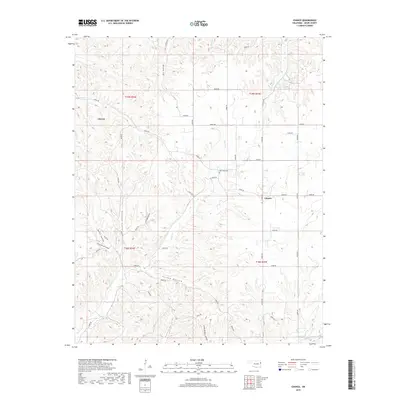
2019 Map of Chance
USGS Topo · Published 2019About this map
Chewey and Chance anchor this portion of Adair County, where the landscape is defined by a dense network of drainages and named hollows. The terrain is deeply incised by waters such as Tyner Cr and Jaybird Cr, creating a topography of ridges and valleys that has historically dictated the path of local roads and settlement patterns. Local history is centered around landmarks like New Hope Cemetery, which sits near the junction of several county roads including E0655 Rd.
Find a feature on this map
50 named features on this map. Tap any name to fly to it.
Don’t see what you’re looking for? This feature index may not catch every label — zoom into the map to look around manually.
Map Details
Editions of this 2019 Chance Map
This is the sole edition of this map. No revisions or reprints were ever made.
Other maps of this area

1898 · Tahlequah
USGS Topo · 1:125,000

1899 · Siloam Springs
USGS Topo · 1:125,000

1901 · Tahlequah
USGS Topo · 1:125,000

1903 · Siloam Springs
USGS Topo · 1:125,000

1904 · Siloam Springs
USGS Topo · 1:125,000

1905 · Tahlequah
USGS Topo · 1:125,000

1946 · Fort Smith
USGS Topo · 1:250,000

1954 · Tulsa
USGS Topo · 1:250,000

1958 · Tulsa
USGS Topo · 1:250,000

1963 · Tulsa
USGS Topo · 1:250,000